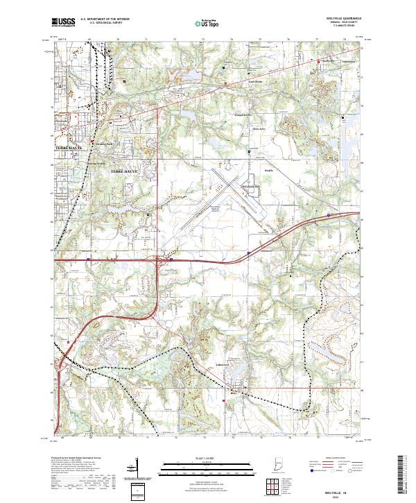
2022 Map of Seelyville
USGS Topo · Published 2022About this map
The Wabash and Erie Canal cuts a historical path through this Vigo County landscape, a remnant of Indiana's early transportation era that once linked the Great Lakes to the Ohio River. Near the campus of the Rose - Hulman Institute of Technology, the terrain is defined by a dense concentration of burial grounds, including the large Highland Lawn Cem and Calvary Cem, providing significant resources for genealogical research. The eastern edge of Terre Haute transitions into residential and industrial pockets like Seelyville and East Glenn, while the southern portion of the map remains more open with features like Honey Creek and the Lakewood Subdivision Lake near Riley. Modern infrastructure, including the Terre Haute Regional Airport, overlays an older network of named roads and trails like the National Road Heritage Trl.
Find a feature on this map
68 named features on this map. Tap any name to fly to it.
Don’t see what you’re looking for? This feature index may not catch every label — zoom into the map to look around manually.
Map Details
Editions of this 2022 Seelyville Map
This is the sole edition of this map. No revisions or reprints were ever made.
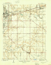
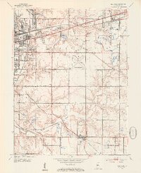
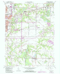
Historical Maps of Tabertown Through Time
4 maps found