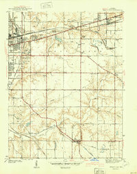
1941 Map of Seelyville
USGS Topo · Published 1941About this map
The Rose Polytechnic Institute and the expansive grounds of Camp Wildwood define the landscape just east of Terre Haute during the early 1940s. This survey illustrates a region transitioning from heavy industrial reliance to suburban development, with several active coal sites like the Binkley Mine and various Strip Mine operations scattered across the eastern terrain. The presence of the Central Canal (Abandoned) winding toward Riley provides a clear view of 19th-century infrastructure being superseded by a dense network of modern transportation. Four major railroads, including the Pennsylvania RR and the New York Central RR, bisect the county, supporting smaller coal-belt settlements such as Seelyville and Glen Ayr. Local history is preserved in the numerous rural landmarks, from the Vigo County Childrens Home and the County Home to small country houses of worship like Union Ch and Pleasant Valley Ch.
Find a feature on this map
58 named features on this map. Tap any name to fly to it.
Don’t see what you’re looking for? This feature index may not catch every label — zoom into the map to look around manually.
Map Details
Editions of this 1941 Seelyville Map
2 editions found
Other maps of this area

1908 · Clay City
USGS Topo · 1:48,000

1910 · Clay City
USGS Topo · 1:62,500

1940 · Lewis
USGS Topo · 1:24,000

1940 · Pimento
USGS Topo · 1:24,000

1941 · Seelyville
USGS Topo · 1:24,000

1941 · Terre Haute
USGS Topo · 1:24,000

1948 · Terre Haute
USGS Topo · 1:24,000

1950 · Rosedale
USGS Topo · 1:24,000

1950 · Brazil West
USGS Topo · 1:24,000

1950 · New Goshen
USGS Topo · 1:24,000