
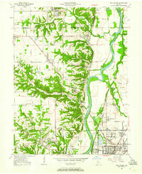
1950 Map of New Goshen
USGS Topo · Published 1952About this map
St Mary-of-the-Woods College anchors the southwestern corner of this survey, serving as a prominent educational and religious landmark near the Chicago Milwaukee St Paul and Pacific rail line. The landscape is defined by the winding Wabash River and an intensive industrial footprint, with numerous Strip Mines and Mine Dumps scattered between Shepardsville and Tecumseh. This era shows a transition in transportation, where the Erie Canal (Abandoned) runs parallel to the river, silent beside active rail corridors like the Chicago and Eastern Illinois.
Find a feature on this map
57 named features on this map. Tap any name to fly to it.
Don’t see what you’re looking for? This feature index may not catch every label — zoom into the map to look around manually.
Map Details
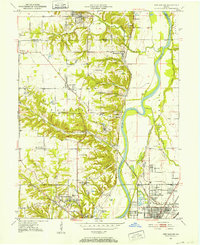
Editions of this 1950 New Goshen Map
3 editions found
Other maps of this area

1932 · Marshall
USGS Topo · 1:62,500

1937 · Marshall
USGS Topo · 1:62,500

1941 · Seelyville
USGS Topo · 1:24,000

1941 · Terre Haute
USGS Topo · 1:24,000

1942 · Dennison
USGS Topo · 1:24,000

1947 · Paris
USGS Topo · 1:62,500

1948 · Terre Haute
USGS Topo · 1:24,000

1949 · Paris
USGS Topo · 1:62,500

1950 · Rosedale
USGS Topo · 1:24,000

1950 · Sandford
USGS Topo · 1:24,000