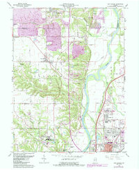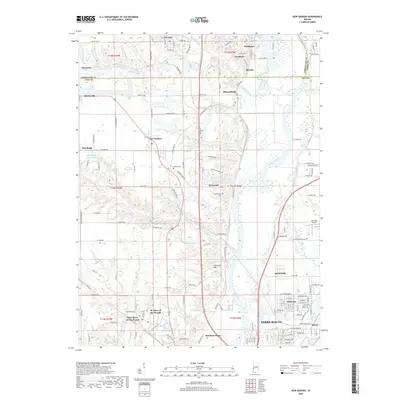
1950 Map of New Goshen
USGS Topo · Published 1952About this map
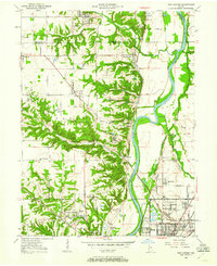
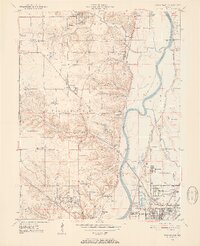
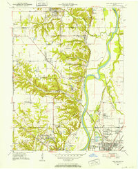
Industrial coal mining and academic institutions define this stretch of the Wabash River valley at the turn of the decade. Multiple strip mines and Mine Dumps surround settlements like Tecumseh and Shepardsville, illustrating the intensive resource extraction of the era. To the south, the landscape shifts toward the educational and religious hub of St Mary-of-the-Woods, anchored by St Mary-of-the-Woods College. The map records the historical transition of transportation, showing the Erie Canal (Abandoned) running parallel to the river, long superseded by the dense network of the Chicago and Eastern Illinois RR and the New York Central RR. Along the southern border, the growth of northern Terre Haute is visible through developing neighborhoods like Terre Town and Parkview, while Fort Harrison stands as a landmark on the riverbank.
Find a feature on this map
59 named features on this map. Tap any name to fly to it.
Don’t see what you’re looking for? This feature index may not catch every label — zoom into the map to look around manually.
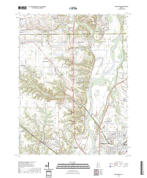
Map Details
Editions of this 1950 New Goshen Map
3 editions found
Historical Maps of Terre Haute Through Time
7 maps found