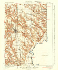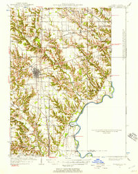
1932 Map of Marshall
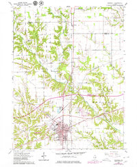
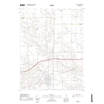
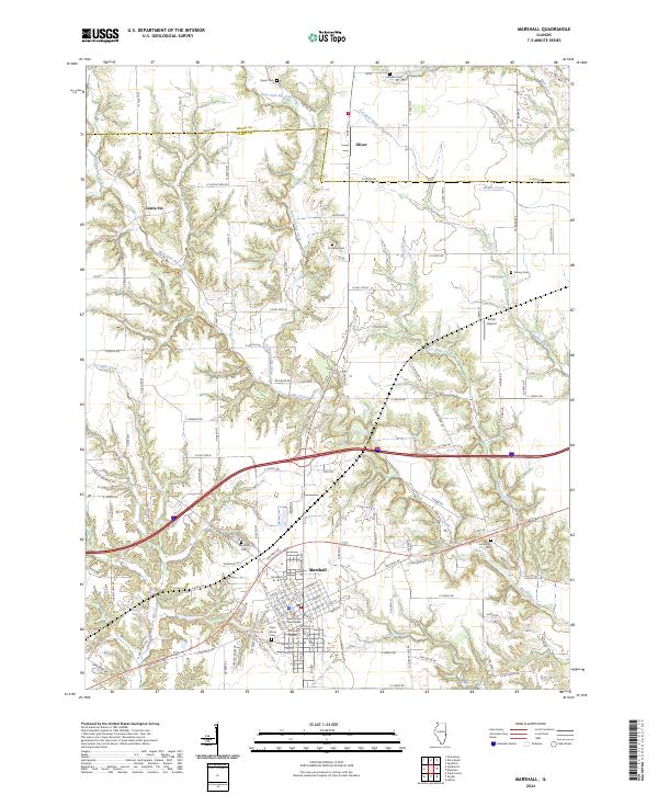
USGS Topo · Published 1957About this map
The Marshall municipal hub and the Wabash River valley define this Illinois-Indiana borderland, where the Pennsylvania railroad line cuts through the prairie toward Farrington. This 1932 survey captures a landscape densely populated with rural institutions, including dozens of country schools like Rabbit Ridge Sch, Sassafras Sch, and Mozart Sch. Along the river, riverine crossings such as Bohn Ferry and Waters Ford reveal how locals negotiated the waterway before modern bridge infrastructure dominated the region.
Find a feature on this map
70 named features on this map. Tap any name to fly to it.
Don’t see what you’re looking for? This feature index may not catch every label — zoom into the map to look around manually.
Map Details
Editions of this 1932 Marshall Map
This is the sole edition of this map. No revisions or reprints were ever made.
Historical Maps of Marshall Through Time
8 maps found