Loading...
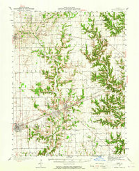
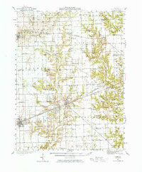
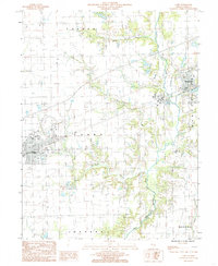
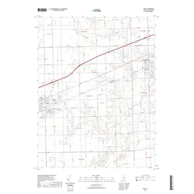
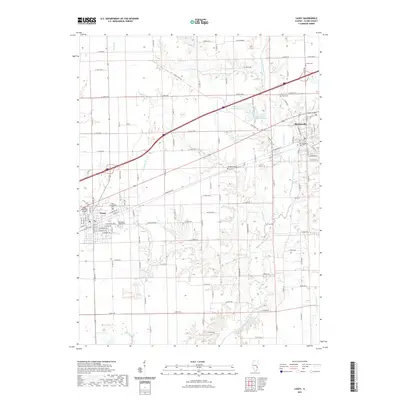
Loading map...1942 Map of Casey
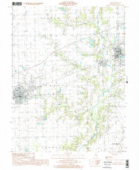
USGS Topo · Published 1965About this map
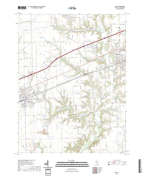
The Pennsylvania railroad corridor defines the development of Clark County in the mid-20th century, linking the major settlements of Casey and Martinsville. This landscape is marked by a transition from the industrial infrastructure of the Oilfield area and a large Tank Farm to a dense network of rural schoolhouses and churches. Family-named landmarks such as Enlow Cem and Davis Cem reflect the deep-rooted local genealogy of the region.
Find a feature on this map
83 named features on this map. Tap any name to fly to it.
Don’t see what you’re looking for? This feature index may not catch every label — zoom into the map to look around manually.
Map Details
Date Portrayed1942
Date Published1965
PublisherU.S. Geological Survey
Map TypeTopographic
Scale1:62,500
Physical Dimensions16.9 x 20.8 inches
Editions of this 1942 Casey Map
2 editions found
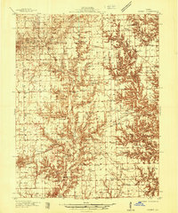
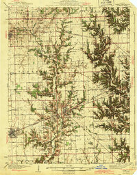
Historical Maps of Casey Through Time
10 maps found
Featured Locations
Source Details
SourceU.S. Geological Survey
CopyrightPublic Domain