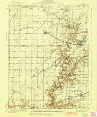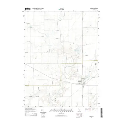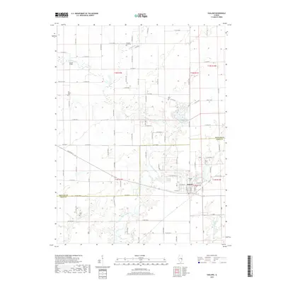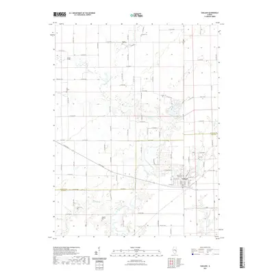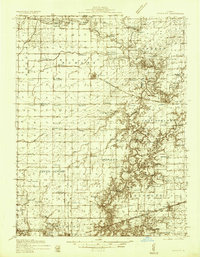
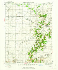
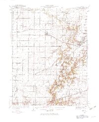
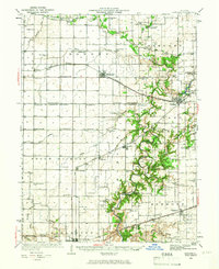
1936 Map of Oakland
USGS Topo · Published 1936About this map
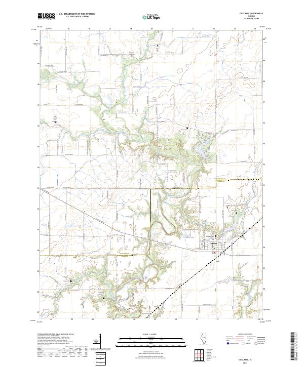
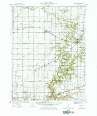
The Embarrass River meanders through the eastern portion of this landscape, forming a complex drainage network that defines the rural character of Coles and Douglas Counties. Significant rail infrastructure, including the Pennsylvania and New York Central lines, dictates the placement of early 20th-century grain-shipping hubs like Hindsboro and Oakland. The area's dense social fabric is evidenced by an exceptionally high concentration of district schools such as Contrary Sch, Boneset Sch, and Seven Hickory Sch, highlighting the decentralized nature of rural education before mid-century consolidation.
Find a feature on this map
86 named features on this map. Tap any name to fly to it.
Don’t see what you’re looking for? This feature index may not catch every label — zoom into the map to look around manually.
Map Details
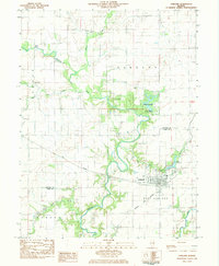
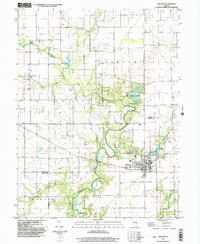
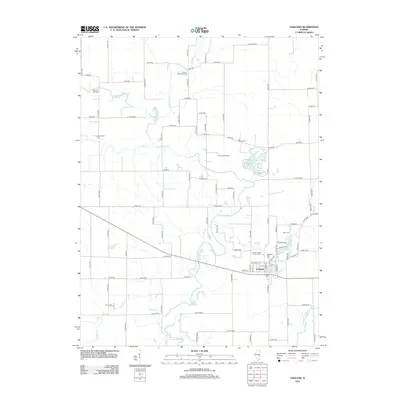
Editions of this 1936 Oakland Map
5 editions found
Historical Maps of Charleston Through Time
9 maps found