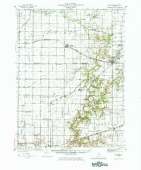
1936 Map of Oakland
USGS Topo · Published 1983About this map
The Embarrass River winds through this central Illinois landscape, serving as a geographic anchor for numerous rural communities across Douglas and Coles counties during the mid-1930s. The settlement of Oakland sits near Lake Oakland, while the Pennsylvania railroad corridor links the villages of Hindsboro, Kemp, and Filson. This era is defined by an incredibly dense network of country schools, including uniquely named institutions like Contrary Sch, Egypt Sch, and Martin Box Sch.
Find a feature on this map
92 named features on this map. Tap any name to fly to it.
Don’t see what you’re looking for? This feature index may not catch every label — zoom into the map to look around manually.
Map Details
Editions of this 1936 Oakland Map
5 editions found
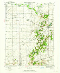
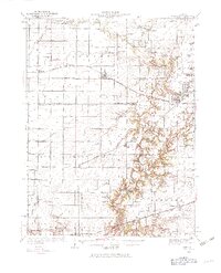
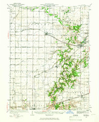
Other maps of this area

1933 · Toledo
USGS Topo · 1:62,500

1934 · Mattoon
USGS Topo · 1:62,500

1935 · Arcola
USGS Topo · 1:48,000

1936 · Oakland
USGS Topo · 1:48,000

1936 · Casey
USGS Topo · 1:48,000

1937 · Mattoon
USGS Topo · 1:62,500

1938 · Toledo
USGS Topo · 1:62,500

1940 · Arcola
USGS Topo · 1:62,500

1942 · Oakland
USGS Topo · 1:62,500

1942 · Casey
USGS Topo · 1:62,500