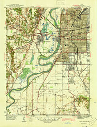
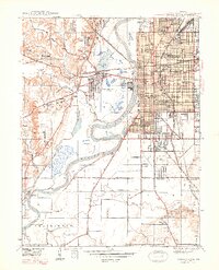
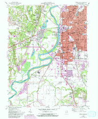
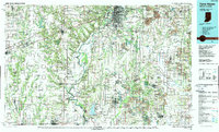
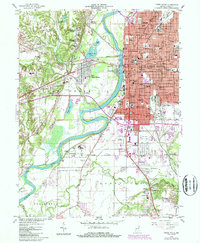
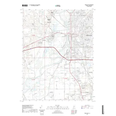
1941 Map of Terre Haute
USGS Topo · Published 1941About this map
The Wabash River carves a deep path through Vigo County in this 1941 preliminary survey, separating the dense urban grid of Terre Haute from its western neighbors. This period of industrial and civic expansion is evident in the concentration of educational and power infrastructure, most notably the Dresser Power Plant on the riverbank and the Teachers College near the city center. The rail networks of the New York Central, Pennsylvania, and Chicago Milwaukee St Paul and Pacific converge on the city, illustrating its role as a regional transportation hub during the mid-twentieth century.
Find a feature on this map
73 named features on this map. Tap any name to fly to it.
Don’t see what you’re looking for? This feature index may not catch every label — zoom into the map to look around manually.
Map Details
Editions of this 1941 Terre Haute Map
This is the sole edition of this map. No revisions or reprints were ever made.
Historical Maps of Terre Haute Through Time
10 maps found
1941 Terre Haute
Vigo County, IN
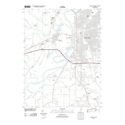
1948 Terre Haute
Vigo County, IN
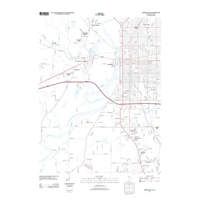
1958 Terre Haute
Vigo County, IN
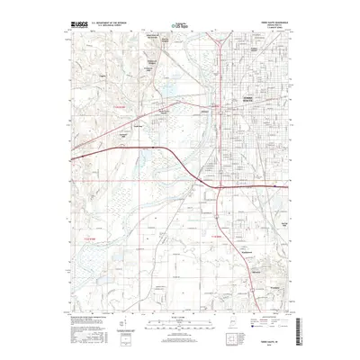
1986 Terre Haute
Vigo County, IN
1986 Terre Haute
Vigo County, IN
2010 Terre Haute
Vigo County, IN
2013 Terre Haute
Vigo County, IN
2016 Terre Haute
Vigo County, IN
2019 Terre Haute
Vigo County, IN
2022 Terre Haute
Vigo County, IN