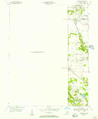
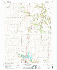
1950 Map of Sandford
USGS Topo · Published 1956About this map
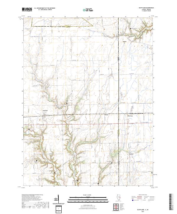
The Illinois Indiana state line bisects this landscape of coal mining and rural crossroads, where small hamlets are anchored by a complex rail network. Sandford sits as a primary junction where the New York Central railroad cuts through the terrain, while the Chicago Milwaukee St Paul and Pacific runs north toward Libertyville and Shirkieville. This mid-century survey highlights the industrial footprint of the era, most notably at the Green Valley Mine and its associated Green Valley Mine Pond. Scattered settlements like Easytown and Shirley Gem illustrate the tight-knit residential patterns that once supported the local extractive economy. Further south, the rural character is preserved around Pisgah Ch near the banks of Sugar Creek, providing a detailed look at the interface between heavy industry and the agricultural landscape of Fayette and Clinton townships.
Find a feature on this map
22 named features on this map. Tap any name to fly to it.
Don’t see what you’re looking for? This feature index may not catch every label — zoom into the map to look around manually.
Map Details
Editions of this 1950 Sandford Map
This is the sole edition of this map. No revisions or reprints were ever made.
Historical Maps of Elbridge Through Time
29 maps found
1950 Sandford
Edgar County, IL
1951 Saint Bernice
Edgar County, IL
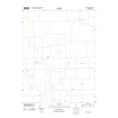
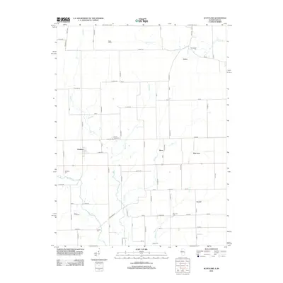
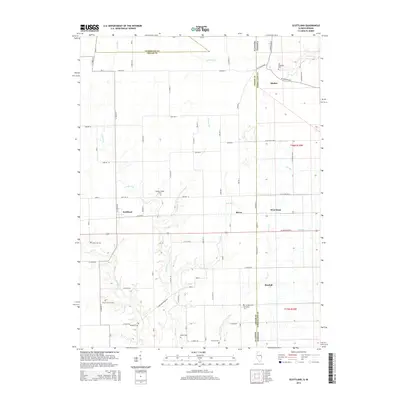
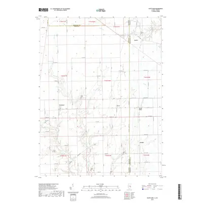
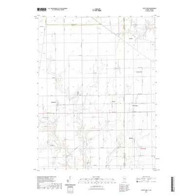
1955 Scottland
Edgar County, IL
1965 Scottland
Edgar County, IL
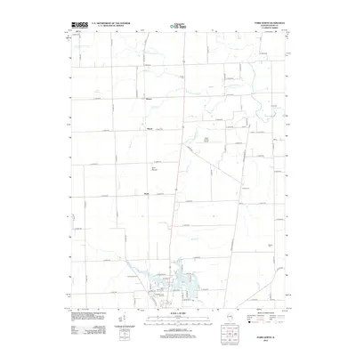
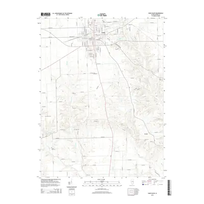
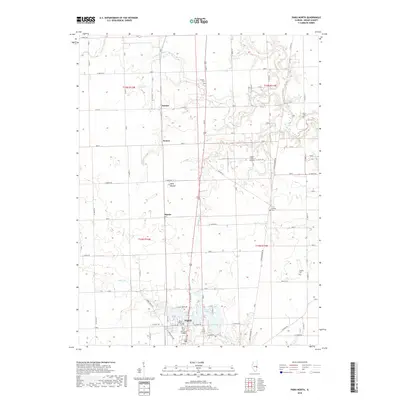
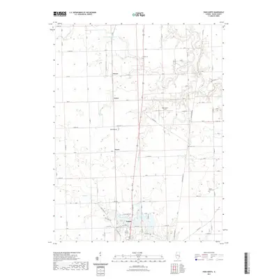
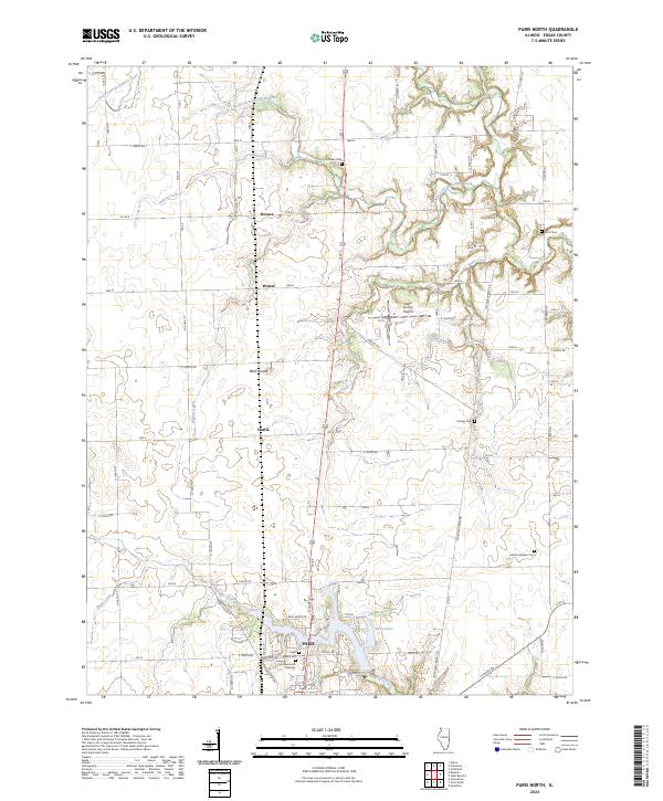
1966 Paris North
Edgar County, IL
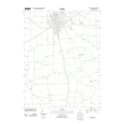
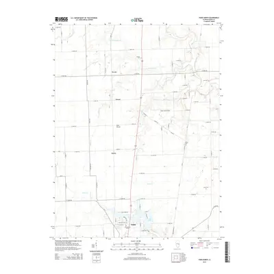
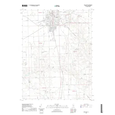
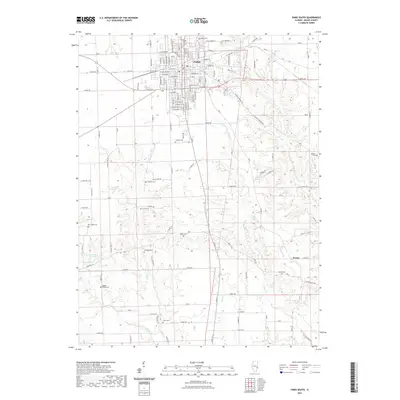
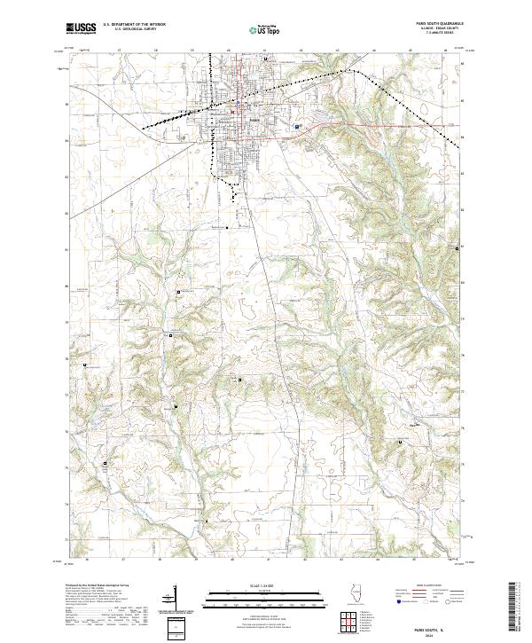
1966 Paris South
Edgar County, IL
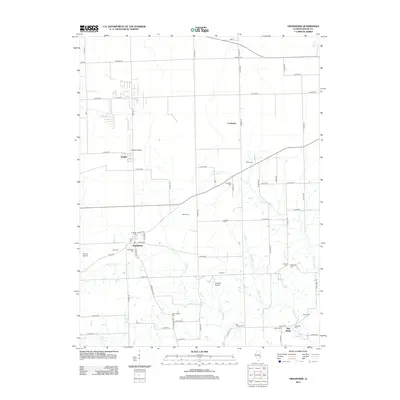
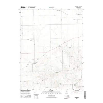
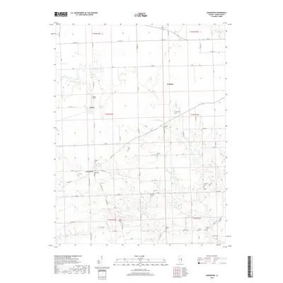
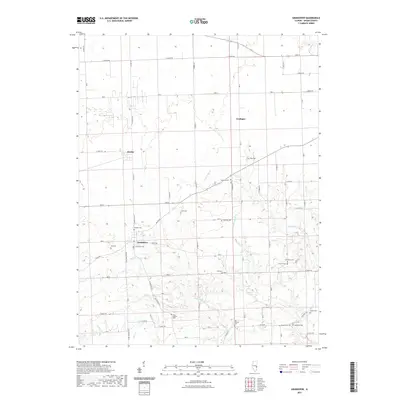
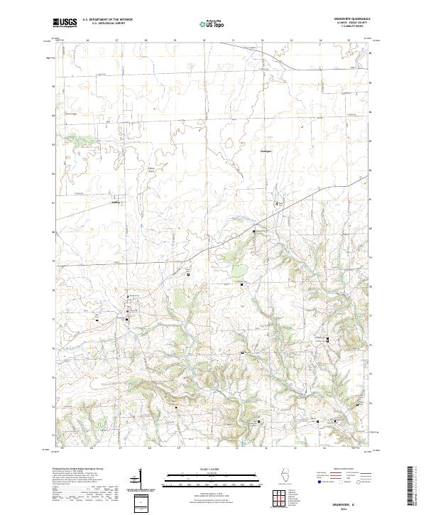
1982 Grandview
Edgar County, IL
1998 Scottland
Edgar County, IL
2011 Scottland
Edgar County, IL
2012 Grandview
Edgar County, IL
2012 Paris North
Edgar County, IL
2012 Paris South
Edgar County, IL
2012 Scottland
Edgar County, IL
2015 Grandview
Edgar County, IL
2015 Paris North
Edgar County, IL
2015 Paris South
Edgar County, IL
2015 Scottland
Edgar County, IL
2018 Grandview
Edgar County, IL
2018 Paris North
Edgar County, IL
2018 Paris South
Edgar County, IL
2018 Scottland
Edgar County, IL
2021 Grandview
Edgar County, IL
2021 Paris North
Edgar County, IL
2021 Paris South
Edgar County, IL
2021 Scottland
Edgar County, IL
2024 Grandview
Edgar County, IL
2024 Paris North
Edgar County, IL
2024 Paris South
Edgar County, IL
2024 Scottland
Edgar County, IL