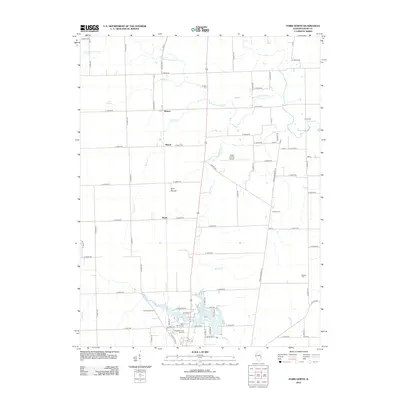
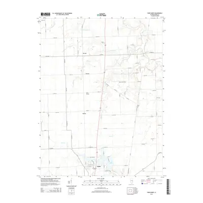
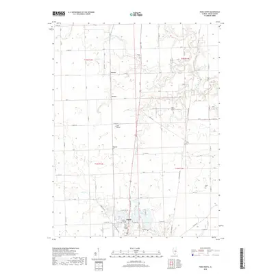
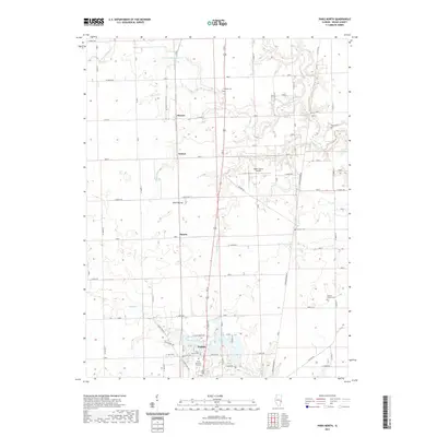
1951 Map of Saint Bernice
USGS Topo · Published 1956About this map
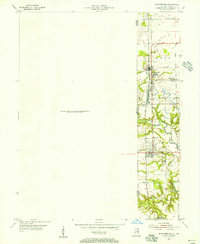
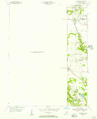
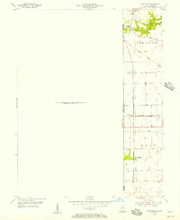
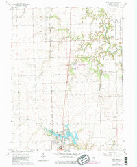
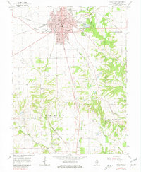
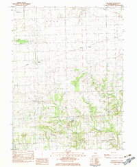
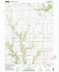
Saint Bernice and Blanford anchor this 1951 survey of the Illinois-Indiana borderlands, where the landscape is defined by a dense intersection of industrial extraction and rail transport. The map documents an intensive corridor of Strip Mines and isolated Mines that follow the valley of Brouilletts Creek. These coal operations were supported by the Chicago Milwaukee St Paul and Pacific railroad, which runs north-to-south through the heart of the settlements. Small residential clusters like Jonestown and West Clinton appear as compact grids alongside the infrastructure of the mining economy. To the south, the terrain shifts slightly toward water management for industry, evidenced by the Shirkie Mine Pond and the drainage of Coal Creek. This document serves as a precise record of the mid-century coal belt before later reclamation efforts altered the topography of these border townships.
Find a feature on this map
18 named features on this map. Tap any name to fly to it.
Don’t see what you’re looking for? This feature index may not catch every label — zoom into the map to look around manually.
Map Details
Editions of this 1951 Saint Bernice Map
This is the sole edition of this map. No revisions or reprints were ever made.
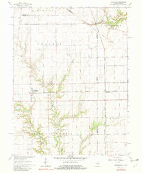
Historical Maps of Clays Prairie Through Time
29 maps found
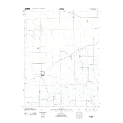
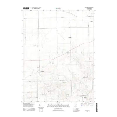
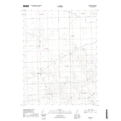
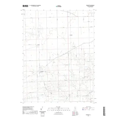
1950 Sandford
Edgar County, IL
1951 Saint Bernice
Edgar County, IL
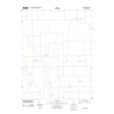
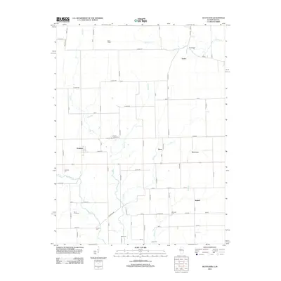
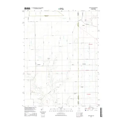
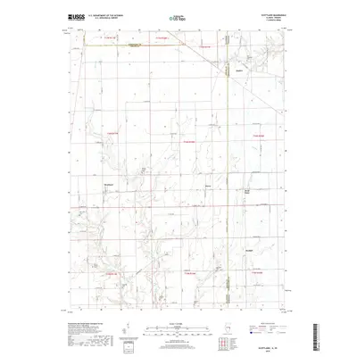
1955 Scottland
Edgar County, IL
1965 Scottland
Edgar County, IL
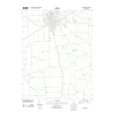
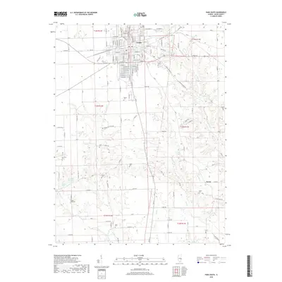
1966 Paris North
Edgar County, IL
1966 Paris South
Edgar County, IL
1982 Grandview
Edgar County, IL
1998 Scottland
Edgar County, IL
2011 Scottland
Edgar County, IL
2012 Grandview
Edgar County, IL
2012 Paris North
Edgar County, IL
2012 Paris South
Edgar County, IL
2012 Scottland
Edgar County, IL
2015 Grandview
Edgar County, IL
2015 Paris North
Edgar County, IL
2015 Paris South
Edgar County, IL
2015 Scottland
Edgar County, IL
2018 Grandview
Edgar County, IL
2018 Paris North
Edgar County, IL
2018 Paris South
Edgar County, IL
2018 Scottland
Edgar County, IL
2021 Grandview
Edgar County, IL
2021 Paris North
Edgar County, IL
2021 Paris South
Edgar County, IL
2021 Scottland
Edgar County, IL
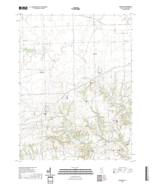
2024 Grandview
Edgar County, IL
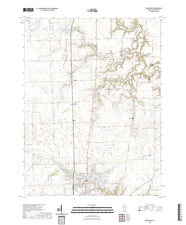
2024 Paris North
Edgar County, IL
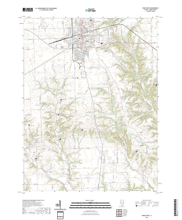
2024 Paris South
Edgar County, IL
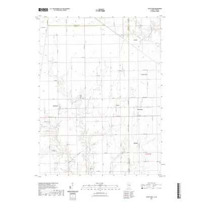
2024 Scottland
Edgar County, IL