
1953 Map of Indianapolis
USGS Topo · Published 1965About this map
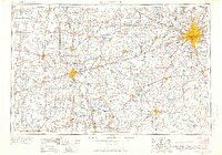
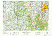
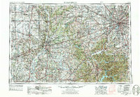
Indianapolis serves as the focal point for this mid-century regional study, showing the city's radiating growth alongside the heavy industrial and transportation corridors of West-Central Indiana. The landscape is defined by the extensive rail networks of the Pennsylvania RR, Monon RR, and New York Central RR, which connect the capital to outlying manufacturing and mining hubs like Terre Haute and Clinton. South of the urban center, the terrain shifts into the heavily wooded ridges and valleys of the Morgan-Monroe State Forest and Brown County State Park. The map documents a critical era of infrastructure expansion, including the emergence of the interstate system with early segments of I-465 and I-65 appearing alongside established routes like U.S. 40. In the west, the Wabash River and Vermilion River valleys trace the border between Indiana and Illinois, illustrating the transition from agricultural plains to the dissected uplands of the Turkey Run State Park region.
Find a feature on this map
245 named features on this map. Tap any name to fly to it.
Don’t see what you’re looking for? This feature index may not catch every label — zoom into the map to look around manually.
Map Details
Editions of this 1953 Indianapolis Map
4 editions found
Other maps of this area

1899 · Danville
USGS Topo · 1:62,500

1900 · Danville
USGS Topo · 1:62,500

1906 · Urbana
USGS Topo · 1:62,500

1908 · Clay City
USGS Topo · 1:48,000

1908 · Bloomington
USGS Topo · 1:48,000

1908 · Bloomfield
USGS Topo · 1:62,500

1910 · Clay City
USGS Topo · 1:62,500

1910 · Hardinville
USGS Topo · 1:62,500

1910 · Bloomington
USGS Topo · 1:62,500

1917 · Birds
USGS Topo · 1:62,500