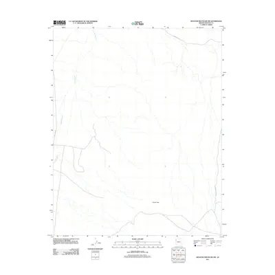
2011 Map of Senator Mountain NW
USGS Topo · Published 2011About this map
Detrital Wash dominates the western half of this Mohave County landscape, its winding course carving through the arid basin north of the Kingman area. This 2011 survey illustrates a sparse desert environment where relief is defined by the prominent Squaw Peak in the southeast quadrant. Human presence is limited to the narrow corridors of Temple Bar Rd and N Temple Bar Rd, which facilitate travel toward Lake Mead. The map provides a clear picture of the region's hydrography and topography before more recent environmental or infrastructural shifts, making it a reliable reference for understanding the natural drainage patterns that define this section of the Arizona desert.
Find a feature on this map
4 named features on this map. Tap any name to fly to it.
Don’t see what you’re looking for? This feature index may not catch every label — zoom into the map to look around manually.
Map Details
Editions of this 2011 Senator Mountain NW Map
This is the sole edition of this map. No revisions or reprints were ever made.
Other maps of this area

1886 · Camp Mohave
USGS Topo · 1:250,000

1886 · Saint Thomas
USGS Topo · 1:250,000

1892 · Camp Mohave
USGS Topo · 1:250,000

1893 · Saint Thomas
USGS Topo · 1:250,000

1926 · Nelson
USGS Topo · 1:96,000

1926 · Bonelli
USGS Topo · 1:96,000

1926 · Boulder Canyon
USGS Topo · 1:96,000

1942 · Camp Mohave
USGS Topo · 1:250,000

1947 · Kingman
USGS Topo · 1:250,000

1948 · Kingman
USGS Topo · 1:250,000