
1952 Map of Setsiltso Springs 2 SE
USGS Topo · Published 1954About this map
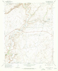
Dinnehotso and various traditional Hogans anchor this high-desert landscape in the early 1950s, illustrating the intersection of traditional Navajo life and early mid-century water management. The course of Laguna Creek is the central artery of the quadrangle, featuring a Diversion Dam, a system of Ditch lines, and labeled Irrigation zones that supported the local community.
Find a feature on this map
16 named features on this map. Tap any name to fly to it.
Don’t see what you’re looking for? This feature index may not catch every label — zoom into the map to look around manually.
Map Details
Editions of this 1952 Setsiltso Springs 2 SE Map
This is the sole edition of this map. No revisions or reprints were ever made.
Other maps of this area

1892 · Canyon De Chelly
USGS Topo · 1:250,000

1952 · Dinnehotso
USGS Topo · 1:62,500

1952 · Setsiltso Springs 2 NW
USGS Topo · 1:24,000

1952 · Setsiltso Springs 2 SW
USGS Topo · 1:24,000

1952 · Setsiltso Springs 2 NE
USGS Topo · 1:24,000

1954 · Shiprock
USGS Topo · 1:250,000

1958 · Shiprock
USGS Topo · 1:250,000

1959 · Shiprock
USGS Topo · 1:250,000
1968 · Mexican Water
USGS Topo · 1:24,000
1968 · Mexican Water SW
USGS Topo · 1:24,000