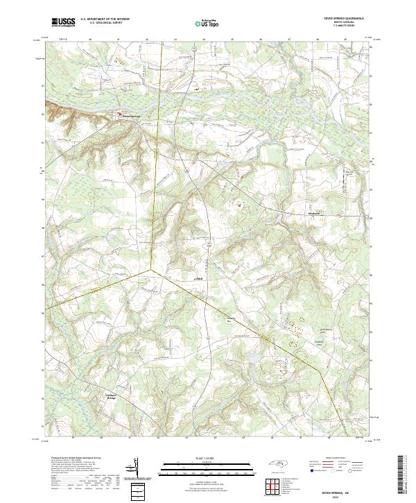
2022 Map of Seven Springs
USGS Topo · Published 2022About this map
The Neuse River winds through the northern reaches of this landscape, carving a broad floodplain that separates the settlement of Seven Springs from the rural uplands to the north. This area of eastern North Carolina is defined by its intricate drainage patterns, where the headwaters of the Northeast Cape Fear River begin to take shape near Outlaws Bridge. The map reveals a transition from the river valley to a terrain dotted with small ponds and bays, including the distinctive Picadilly Bay and several family-named water bodies like Hussey Pond and Rouse Pond.
Find a feature on this map
110 named features on this map. Tap any name to fly to it.
Don’t see what you’re looking for? This feature index may not catch every label — zoom into the map to look around manually.
Map Details
Editions of this 2022 Seven Springs Map
This is the sole edition of this map. No revisions or reprints were ever made.
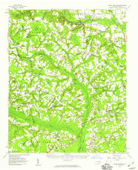
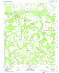
Historical Maps of Wayne County Through Time
3 maps found