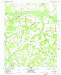
1980 Map of Seven Springs
USGS Topo · Published 1980About this map
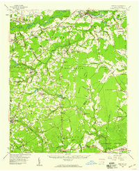
Seven Springs sits at the heart of this landscape, positioned where the Neuse River begins a series of sharp oxbows. The terrain transitions from the protected woodlands of Cliffs Of The Neuse State Park in the northwest to a dense network of agricultural crossroads and creek-side settlements. This 1980 edition documents the rural infrastructure of the era, showcasing significant landmarks like the New Jerusalem Ch and Hardy Millpond. Local travel and genealogy are grounded in the specific placement of numerous family-named junctions such as Husseys Crossroads and Wootens Crossroads. The drainage patterns of Bear Creek and South Prong reflect the low-lying coastal plain environment, where scattered Cem sites and small community hubs like Drummersville and Strabane define the social geography between the borders of Wayne, Lenoir, and Duplin counties.
Find a feature on this map
59 named features on this map. Tap any name to fly to it.
Don’t see what you’re looking for? This feature index may not catch every label — zoom into the map to look around manually.
Map Details
Editions of this 1980 Seven Springs Map
This is the sole edition of this map. No revisions or reprints were ever made.
Other maps of this area

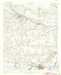
1914 · Kinston
USGS Topo · 1:48,000
1916 · Kinston
USGS Topo · 1:62,500

1953 · Rocky Mount
USGS Topo · 1:250,000

1954 · Rocky Mount
USGS Topo · 1:250,000
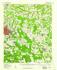
1957 · Goldsboro
USGS Topo · 1:62,500
1957 · Seven Springs
USGS Topo · 1:62,500
1958 · Deep Run
USGS Topo · 1:62,500
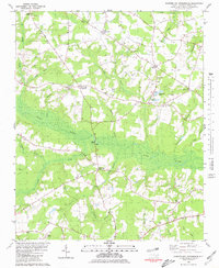
1980 · Summerlins Crossroads
USGS Topo · 1:24,000
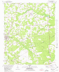
1980 · Pink Hill
USGS Topo · 1:24,000
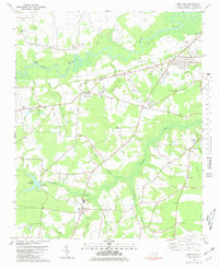
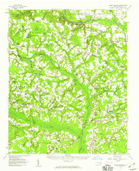
1980 · Deep Run
USGS Topo · 1:24,000