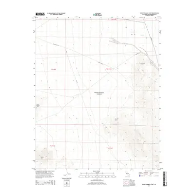
2015 Map of Seventeenmile Point
USGS Topo · Published 2015About this map
The Mojave National Preserve encompasses most of this 2015 survey, protecting a landscape where dry washes and desert peaks define the terrain. The central feature, Seventeenmile Point, sits at the edge of the Mojave Desert, marking a transition from the lower elevations near Willow Wash to the more prominent heights of Cowhole Mtn and Little Cowhole Mtn in the southwest.
Find a feature on this map
16 named features on this map. Tap any name to fly to it.
Don’t see what you’re looking for? This feature index may not catch every label — zoom into the map to look around manually.
Map Details
Editions of this 2015 Seventeenmile Point Map
This is the sole edition of this map. No revisions or reprints were ever made.
Other maps of this area

1910 · Ivanpah
USGS Topo · 1:250,000

1912 · Ivanpah
USGS Topo · 1:250,000

1933 · Avawatz Mountains
USGS Topo · 1:250,000

1942 · Ivanpah
USGS Topo · 1:250,000

1947 · Trona
USGS Topo · 1:250,000

1947 · Kingman
USGS Topo · 1:250,000

1948 · Kingman
USGS Topo · 1:250,000

1948 · Trona
USGS Topo · 1:250,000

1953 · Trona
USGS Topo · 1:250,000

1954 · Kingman
USGS Topo · 1:250,000