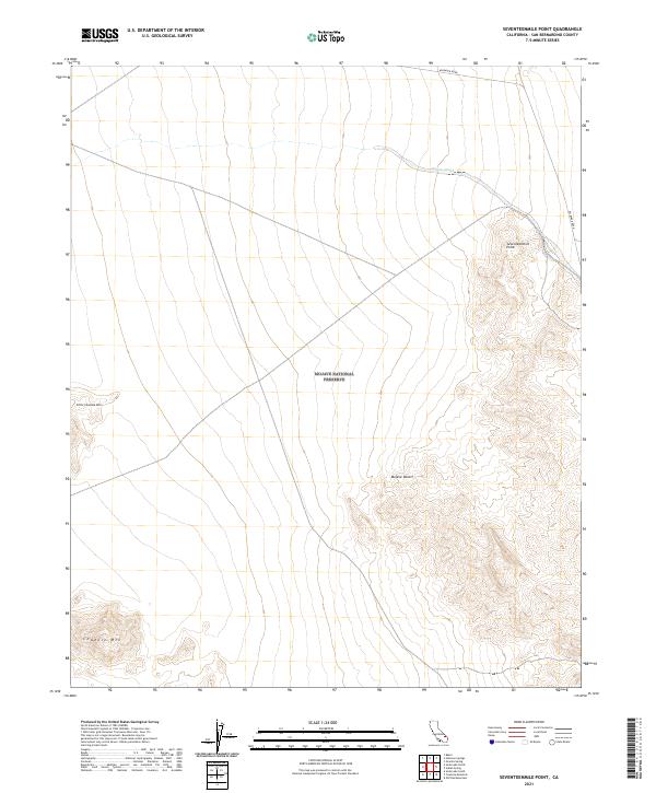
2021 Map of Seventeenmile Point
USGS Topo · Published 2021About this map
The Mojave National Preserve dominates this arid landscape, a protected expanse within the central Mojave Desert. The terrain is defined by stark volcanic and tectonic landforms, including the prominent peak of Seventeenmile Point in the northeast and the isolated elevations of Cowhole Mtn and Little Cowhole Mtn to the west. These summits rise above broad alluvial plains that slope toward the dry lakebeds just outside the map's boundary. Modern infrastructure is limited to the winding route of Kelbaker Road, which skirts the eastern foothills of the peaks. The hydrological pattern is ephemeral, represented by the dendritic drainage of Willow Wash, which carries occasional seasonal runoff across the high desert flats. This survey provides a precise account of the public land survey system grid, including portions of township T13N R10E and T12N R9E, which govern the management of this conservation area.
Find a feature on this map
13 named features on this map. Tap any name to fly to it.
Don’t see what you’re looking for? This feature index may not catch every label — zoom into the map to look around manually.
Map Details
Editions of this 2021 Seventeenmile Point Map
This is the sole edition of this map. No revisions or reprints were ever made.
Other maps of this area

1910 · Ivanpah
USGS Topo · 1:250,000

1912 · Ivanpah
USGS Topo · 1:250,000

1933 · Avawatz Mountains
USGS Topo · 1:250,000

1942 · Ivanpah
USGS Topo · 1:250,000

1947 · Trona
USGS Topo · 1:250,000

1947 · Kingman
USGS Topo · 1:250,000

1948 · Kingman
USGS Topo · 1:250,000

1948 · Trona
USGS Topo · 1:250,000

1953 · Trona
USGS Topo · 1:250,000

1954 · Kingman
USGS Topo · 1:250,000