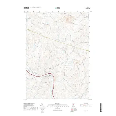
2021 Map of Sharon
USGS Topo · Published 2021About this map
The White River and its tributaries carve through the upland landscape of the Orange and Windsor county border, anchoring the settlement of Sharon along the riverbanks. The valley floor features the landmark Howe Covered Bridge near the First Branch White River, a testament to the region's historic transportation engineering. Higher elevations are defined by prominent peaks such as Baxter Mtn, Tyler Mtn, and Kibling Hill, while smaller bodies of water like Tunbridge Trout Pond and Crescent Lake dot the wooded hillsides.
Find a feature on this map
96 named features on this map. Tap any name to fly to it.
Don’t see what you’re looking for? This feature index may not catch every label — zoom into the map to look around manually.
Map Details
Editions of this 2021 Sharon Map
This is the sole edition of this map. No revisions or reprints were ever made.
Other maps of this area

1896 · Strafford
USGS Topo · 1:62,500

1906 · Hanover
USGS Topo · 1:62,500

1908 · Hanover
USGS Topo · 1:62,500

1911 · Woodstock
USGS Topo · 1:62,500

1913 · Woodstock
USGS Topo · 1:62,500

1919 · Royalton
USGS Topo · 1:62,500

1924 · Randolph
USGS Topo · 1:48,000

1926 · Randolph
USGS Topo · 1:62,500

1943 · Woodstock
USGS Topo · 1:62,500

1944 · Strafford
USGS Topo · 1:62,500