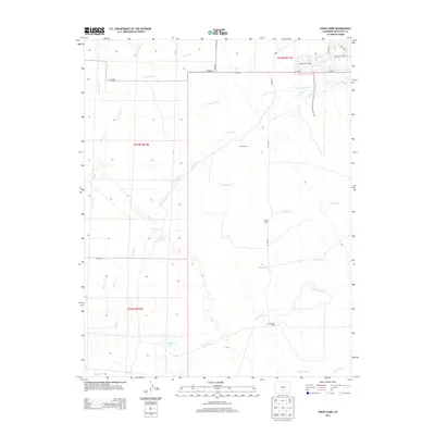
2013 Map of Sheds Camp
USGS Topo · Published 2013About this map
Sheds Camp sits at the heart of this Saguache County landscape, where the high desert terrain is defined by an intricate network of water management and seasonal camps. This 2013 survey reveals a sophisticated system of irrigation, including the N Crestone Ditch, S Crestone Ditch, and Frazee Ditch, all designed to divert the flows of the Sangre de Cristo foothills. The presence of Willow Camp and Cottonwood Camp alongside the primary namesake site suggests a legacy of agricultural or ranching staging areas. Numerous waterways like San Luis Cr and Deadman Cr cross the plains, while the small basin of Weisman Lake provides a rare permanent water feature in the southern reaches. The road network, including CO Road T and Camino de la Plata, connects these scattered outposts within the larger Public Land Survey System boundaries of t043n r010e.
Find a feature on this map
29 named features on this map. Tap any name to fly to it.
Don’t see what you’re looking for? This feature index may not catch every label — zoom into the map to look around manually.
Map Details
Editions of this 2013 Sheds Camp Map
This is the sole edition of this map. No revisions or reprints were ever made.
Other maps of this area

1954 · Trinidad
USGS Topo · 1:250,000

1954 · Pueblo
USGS Topo · 1:250,000

1955 · Trinidad
USGS Topo · 1:250,000

1957 · Pueblo
USGS Topo · 1:250,000

1958 · Trinidad
USGS Topo · 1:250,000

1958 · Pueblo
USGS Topo · 1:250,000

1959 · Trinidad
USGS Topo · 1:250,000

1959 · Electric Peak
USGS Topo · 1:62,500

1962 · Pueblo
USGS Topo · 1:250,000

1966 · Pueblo
USGS Topo · 1:250,000