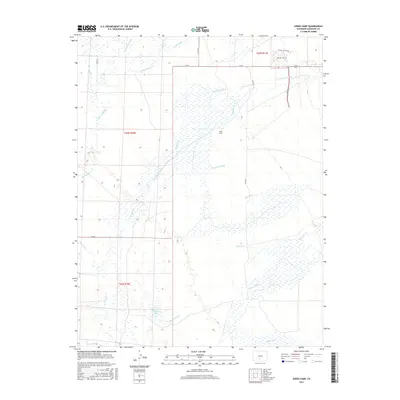
2016 Map of Sheds Camp
USGS Topo · Published 2016About this map
Sheds Camp sits at the heart of this landscape in Saguache County, where a complex network of water management features reveals the area's agricultural history. The territory is defined by the convergence of mountain-fed streams and irrigation channels, including the Wales-Travis Ditch, Frazee Ditch, and the various branches of the N Crestone Ditch and S Crestone Ditch. These man-made waterways redirect the flow of Crestone Cr and San Isabel Cr across the high plains, illustrating the engineering required to sustain this environment. To the south, the terrain is marked by the distinct paths of Cottonwood Cr and Deadman Cr, while the presence of Weisman Lake and the winding San Luis Cr highlights the natural hydrology of the San Luis Valley. Traces of historical transit are visible in routes like Cam De La Plata and Cam Del Oro W, which hint at the region's mining or ranching heritage.
Find a feature on this map
25 named features on this map. Tap any name to fly to it.
Don’t see what you’re looking for? This feature index may not catch every label — zoom into the map to look around manually.
Map Details
Editions of this 2016 Sheds Camp Map
This is the sole edition of this map. No revisions or reprints were ever made.
Other maps of this area

1954 · Trinidad
USGS Topo · 1:250,000

1954 · Pueblo
USGS Topo · 1:250,000

1955 · Trinidad
USGS Topo · 1:250,000

1957 · Pueblo
USGS Topo · 1:250,000

1958 · Trinidad
USGS Topo · 1:250,000

1958 · Pueblo
USGS Topo · 1:250,000

1959 · Trinidad
USGS Topo · 1:250,000

1959 · Electric Peak
USGS Topo · 1:62,500

1962 · Pueblo
USGS Topo · 1:250,000

1966 · Pueblo
USGS Topo · 1:250,000