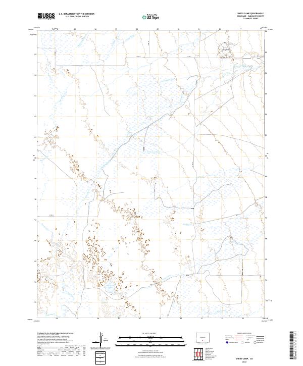
2022 Map of Sheds Camp
USGS Topo · Published 2022About this map
The waters of San Luis Cr and its tributaries define the hydrography of this Colorado landscape, characterized by a complex network of man-made irrigation features and natural drainages. Modern agricultural efforts are evident through the extensive system of canals, including the N Crestone Ditch, S Crestone Ditch, and Wales Travis Ditch. These features, alongside Frazee Ditch and N Ditch, reveal the vital role of water management in the region. Near the center of the sheet, Weisman Lake serves as a distinct landmark amidst the shifting courses of Crestone Cr and Spanish Cr. This 2022 survey documents a rural environment where infrastructure like Co RD T and Co RD N provides access to the alluvial plains and wetland areas surrounding Saguache Cr and Deadman Cr.
Find a feature on this map
24 named features on this map. Tap any name to fly to it.
Don’t see what you’re looking for? This feature index may not catch every label — zoom into the map to look around manually.
Map Details
Editions of this 2022 Sheds Camp Map
This is the sole edition of this map. No revisions or reprints were ever made.
Other maps of this area

1954 · Trinidad
USGS Topo · 1:250,000

1954 · Pueblo
USGS Topo · 1:250,000

1955 · Trinidad
USGS Topo · 1:250,000

1957 · Pueblo
USGS Topo · 1:250,000

1958 · Trinidad
USGS Topo · 1:250,000

1958 · Pueblo
USGS Topo · 1:250,000

1959 · Trinidad
USGS Topo · 1:250,000

1959 · Electric Peak
USGS Topo · 1:62,500

1962 · Pueblo
USGS Topo · 1:250,000

1966 · Pueblo
USGS Topo · 1:250,000