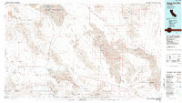
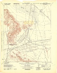
1985 Map of Sheep Hole Mountains
USGS Topo · Published 1985About this map
Mining operations and arid basins dominate this mid-1980s landscape at the boundary of San Bernardino and Riverside counties. The Sheep Hole Mountains and Pinto Mountains are pockmarked with dozens of prospect sites including the Virginia Dale Mine, Iron Age Mine, and War Eagle Mine, reflecting a century of mineral extraction. Settlement is sparse, restricted to rail-side outposts like Chubbuck and Milligan along the Atchison Topeka and Santa Fe line, or the isolated location of Old Dale.
Find a feature on this map
75 named features on this map. Tap any name to fly to it.
Don’t see what you’re looking for? This feature index may not catch every label — zoom into the map to look around manually.
Map Details
Editions of this 1985 Sheep Hole Mountains Map
This is the sole edition of this map. No revisions or reprints were ever made.
Other maps of this area

1942 · Blythe
USGS Topo · 1:250,000

1942 · Amboy
USGS Topo · 1:250,000
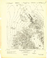
1943 · Center Hills
USGS Topo · 1:62,500

1943 · Amboy
USGS Topo · 1:250,000
1943 · Essex
USGS Topo · 1:62,500
1943 · Danby
USGS Topo · 1:62,500
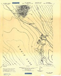
1943 · Cadiz Lake
USGS Topo · 1:62,500
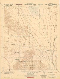
1943 · Cadiz Valley
USGS Topo · 1:62,500
1943 · Turtle Mts.
USGS Topo · 1:62,500
1943 · Iron Mountains
USGS Topo · 1:62,500