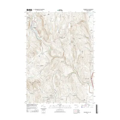
2015 Map of Shelburne Falls
USGS Topo · Published 2015About this map
Shelburne Falls sits at a dramatic bend of the Deerfield River, serving as a central point in a landscape defined by significant topographic relief and historic river crossings. The map documents a network of highland settlements and agricultural crossroads, including Shelburne, Conway, and West Deerfield. Genetic and local history is well-represented through numerous family and community burial grounds such as Arms Cem, Jones Cem, and the Howland Cem.
Find a feature on this map
152 named features on this map. Tap any name to fly to it.
Don’t see what you’re looking for? This feature index may not catch every label — zoom into the map to look around manually.
Map Details
Editions of this 2015 Shelburne Falls Map
This is the sole edition of this map. No revisions or reprints were ever made.
Other maps of this area

1885 · Northampton
USGS Topo · 1:62,500

1886 · Hawley
USGS Topo · 1:62,500

1886 · Chesterfield
USGS Topo · 1:62,500

1886 · Northampton
USGS Topo · 1:62,500

1888 · Chesterfield
USGS Topo · 1:62,500

1890 · Hawley
USGS Topo · 1:62,500

1890 · Greenfield
USGS Topo · 1:62,500

1891 · Northampton
USGS Topo · 1:62,500

1893 · Northampton
USGS Topo · 1:62,500

1893 · Chesterfield
USGS Topo · 1:62,500