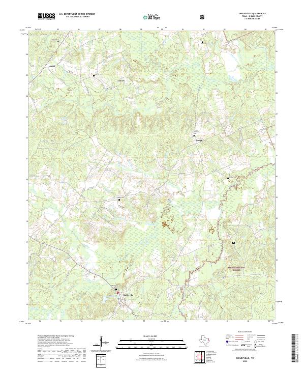
2022 Map of Shelbyville
USGS Topo · Published 2022About this map
Shelbyville and its surrounding countryside are depicted in this survey, showcasing a landscape defined by small rural settlements and a dense network of creek drainages. To the east, the Sabine National Forest covers a significant portion of the terrain, where Tenaha Cr winds through the bottomlands. The map is particularly detailed regarding local burial sites, which are essential for genealogical research in this part of East Texas. Notable locations include Shelbyville Cem, Sardis Cem, and Antioch Cem, alongside family-named sites like Smith Cem and Price Cem. The infrastructure consists primarily of farm-to-market roads and county routes that connect outlying communities like James and Campti, reflecting a persistent pattern of rural life near the borderlands. Small water bodies like Bone Hill Lake and Windham Lake provide localized landmarks amidst the timbered hills and numerous branches like Morrison Cr and Prairie Cr.
Find a feature on this map
82 named features on this map. Tap any name to fly to it.
Don’t see what you’re looking for? This feature index may not catch every label — zoom into the map to look around manually.
Map Details
Editions of this 2022 Shelbyville Map
This is the sole edition of this map. No revisions or reprints were ever made.
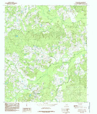
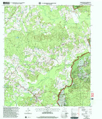
Historical Maps of Antioch Through Time
3 maps found