2022 Map of Sherrill
USGS Topo · Published 2022About this map
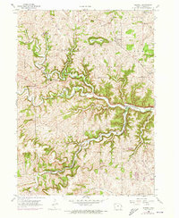
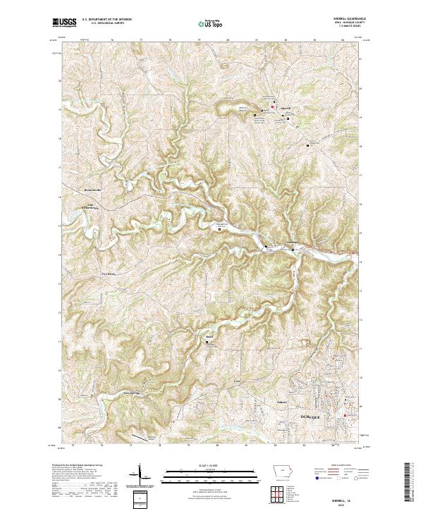
Sherrill Mound and Lore Mound rise above the complex drainages of northwestern Dubuque County, marking a landscape defined by the deep valleys of the North Fork and Middle Fork Little Maquoketa River. This region is characterized by small, ridgetop and valley settlements like Sherrill, Rickardsville, and Durango, which serve as anchors for numerous community burial grounds and churches. The map documents a high density of rural cemeteries, including the Saints Peter and Paul Cem and the International Order of Odd Fellows Cem, reflecting the deep-rooted genealogical history of the German and European immigrant communities that settled these ridges. In the southern portion of the map, the transition toward the city of Dubuque is evident in the growth of Asbury and the presence of Anderson Airport, contrasting with the more isolated rural character of northern hamlets like Budd and Five Points.
Find a feature on this map
123 named features on this map. Tap any name to fly to it.
Don’t see what you’re looking for? This feature index may not catch every label — zoom into the map to look around manually.
Map Details
Editions of this 2022 Sherrill Map
This is the sole edition of this map. No revisions or reprints were ever made.