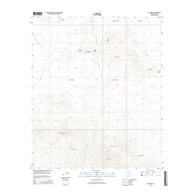
2014 Map of Sil Nakya
USGS Topo · Published 2014About this map
The settlement of Sil Nakya sits at the heart of this desert landscape, positioned where the Sil Nakya Valley meets the Sil Nakya Pass. This 2014 survey documents a region defined by dramatic elevation changes, from the drainage of Sil Nakya Wash to the prominent peaks of the Comobari Mountains and Mt Devine. The presence of Bia-33 and Bia-34 indicates the primary transit routes through this portion of the Schuk Toak District.
Find a feature on this map
20 named features on this map. Tap any name to fly to it.
Don’t see what you’re looking for? This feature index may not catch every label — zoom into the map to look around manually.
Map Details
Editions of this 2014 Sil Nakya Map
This is the sole edition of this map. No revisions or reprints were ever made.
Other maps of this area

1934 · Silver Bell
USGS Topo · 1:125,000

1937 · Comobabi
USGS Topo · 1:48,000

1938 · San Vicente
USGS Topo · 1:62,500

1941 · San Vicente
USGS Topo · 1:62,500

1942 · San Vicente
USGS Topo · 1:62,500

1942 · Comobabi
USGS Topo · 1:62,500

1948 · San Vicente
USGS Topo · 1:62,500

1956 · Tucson
USGS Topo · 1:250,000

1958 · Tucson
USGS Topo · 1:250,000

1959 · Tucson
USGS Topo · 1:250,000
Featured Places
- Sil Nakya, Schuk Toak District
- Gu Achi District, AZ
- Schuk Toak District, AZ
- Pima County, AZ
- United States