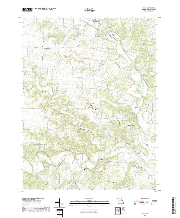
2021 Map of Silex
USGS Topo · Published 2021About this map
The North Fork Cuivre River and West Fork Cuivre River converge in this section of Lincoln County, defining a landscape of agricultural valley floors and wooded stream breaks. The town of Silex sits at the northern edge, while the smaller settlements of Millwood, Briscoe, Davis, and Cave anchor the surrounding rural sections. The mapping of numerous family and church burial grounds, including Sitton Cem, Saint Alphonsus Cem, and Sulphur Lick Cem, provides a detailed geographic record for local genealogy.
Find a feature on this map
120 named features on this map. Tap any name to fly to it.
Don’t see what you’re looking for? This feature index may not catch every label — zoom into the map to look around manually.
Map Details
Editions of this 2021 Silex Map
This is the sole edition of this map. No revisions or reprints were ever made.
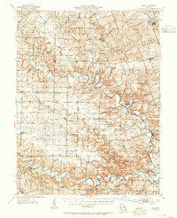
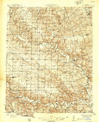
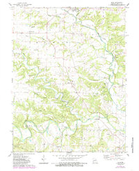
Historical Maps of Millwood Through Time
4 maps found