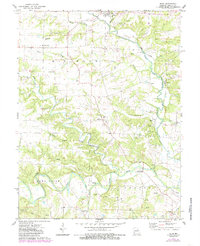
1975 Map of Silex
USGS Topo · Published 1985About this map
The North Fork Cuivre River and West Fork Cuivre River dominate this Lincoln County landscape, defining the topography of north-central Missouri. Small rural communities like Silex and Millwood serve as focal points for the surrounding agricultural townships of Millwood, Union, and Hawk Point. A significant number of family and parish burial grounds are scattered throughout the hills, including Sitton, Clary, and Mumford cemeteries, providing a dense record for genealogical research in the region.
Find a feature on this map
49 named features on this map. Tap any name to fly to it.
Don’t see what you’re looking for? This feature index may not catch every label — zoom into the map to look around manually.
Map Details
Editions of this 1975 Silex Map
2 editions found
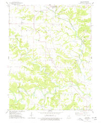
Other maps of this area

1890 · Louisiana
USGS Topo · 1:125,000

1890 · Hermann
USGS Topo · 1:125,000

1903 · O'Fallon
USGS Topo · 1:125,000

1934 · Elsberry
USGS Topo · 1:48,000

1937 · Silex
USGS Topo · 1:62,500

1939 · Silex
USGS Topo · 1:48,000

1941 · Troy
USGS Topo · 1:62,500

1942 · Elsberry
USGS Topo · 1:62,500

1943 · Warrenton
USGS Topo · 1:62,500

1945 · Troy
USGS Topo · 1:62,500