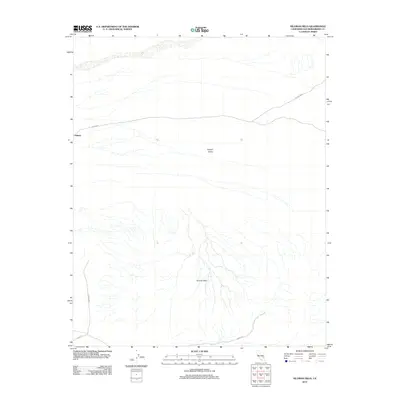
2012 Map of Silurian Hills
USGS Topo · Published 2012About this map
Valjean sits as a lonely marker in the high desert of San Bernardino County, situated within the broad expanse of the Valjean Valley. This 2012 survey by the U.S. Geological Survey documents a landscape dominated by the complex drainage patterns and arid slopes of the Silurian Hills. The map traces the sparse infrastructure that services this remote corridor, including Co Hwy-70555 and Riggs Rd. The absence of dense settlement reflects the environmental constraints of the Mojave region, where land use is defined more by the natural topography and the few arterial roads that cross it than by urban development. This map provides a detailed view of the alluvial fans and dry washes that characterize the local hydrology south of the hills.
Find a feature on this map
5 named features on this map. Tap any name to fly to it.
Don’t see what you’re looking for? This feature index may not catch every label — zoom into the map to look around manually.
Map Details
Editions of this 2012 Silurian Hills Map
This is the sole edition of this map. No revisions or reprints were ever made.
Other maps of this area

1910 · Ivanpah
USGS Topo · 1:250,000

1912 · Ivanpah
USGS Topo · 1:250,000

1933 · Avawatz Mountains
USGS Topo · 1:250,000

1942 · Ivanpah
USGS Topo · 1:250,000

1947 · Trona
USGS Topo · 1:250,000

1947 · Kingman
USGS Topo · 1:250,000

1948 · Kingman
USGS Topo · 1:250,000

1948 · Trona
USGS Topo · 1:250,000

1953 · Trona
USGS Topo · 1:250,000

1954 · Kingman
USGS Topo · 1:250,000