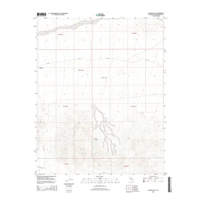
2015 Map of Silurian Hills
USGS Topo · Published 2015About this map
Valjean serves as the primary named point of reference within this arid landscape in the mid-2010s, situated near the western edge of the quadrangle. The topography is dominated by the Silurian Hills, which rise above the surrounding Mojave Desert and the adjacent Valjean Valley. This terrain is characterized by complex alluvial wash patterns that drain from the hills, reflecting the hydrology of a high-desert environment. Transportation through this part of San Bernardino County is limited to a sparse network of county and local routes, including Silurian Lake Rd, Riggs Rd, and various designated county roads such as CR-20555 and CR-20554. The township and range lines, including t17n r8e and t18n r9e, provide a structured grid over this largely undeveloped section of the California desert.
Find a feature on this map
14 named features on this map. Tap any name to fly to it.
Don’t see what you’re looking for? This feature index may not catch every label — zoom into the map to look around manually.
Map Details
Editions of this 2015 Silurian Hills Map
This is the sole edition of this map. No revisions or reprints were ever made.
Other maps of this area

1910 · Ivanpah
USGS Topo · 1:250,000

1912 · Ivanpah
USGS Topo · 1:250,000

1933 · Avawatz Mountains
USGS Topo · 1:250,000

1942 · Ivanpah
USGS Topo · 1:250,000

1947 · Trona
USGS Topo · 1:250,000

1947 · Kingman
USGS Topo · 1:250,000

1948 · Kingman
USGS Topo · 1:250,000

1948 · Trona
USGS Topo · 1:250,000

1953 · Trona
USGS Topo · 1:250,000

1954 · Kingman
USGS Topo · 1:250,000