Loading...
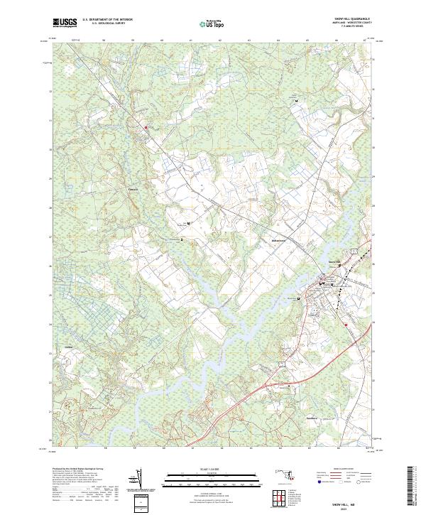
Loading map...2023 Map of Snow Hill
USGS Topo · Published 2023About this map
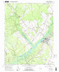
The Worcester County Courthouse serves as the focal point for Snow Hill, a historic river town situated along the winding banks of the Pocomoke River. This modern survey illustrates the enduring settlement patterns of Worcester County, where established neighborhoods meet the dense wetlands of Bear Swamp and Franklin Swamp. The landscape is deeply tied to its watercourses, with Nassawango Creek and Hardship Branch carving through the low-lying terrain.
Find a feature on this map
95 named features on this map. Tap any name to fly to it.
Don’t see what you’re looking for? This feature index may not catch every label — zoom into the map to look around manually.
Map Details
Date Portrayed2023
Date Published2023
PublisherU.S. Geological Survey
Map TypeTopographic
Scale1:24000
Physical Dimensions24 x 29 inches
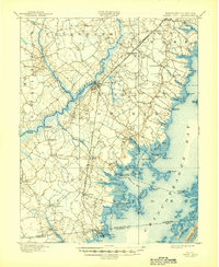
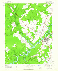
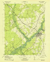
Editions of this 2023 Snow Hill Map
This is the sole edition of this map. No revisions or reprints were ever made.
Historical Maps of Tyndall Estates Through Time
5 maps found
Featured Locations
Source Details
SourceU.S. Geological Survey
CopyrightPublic Domain