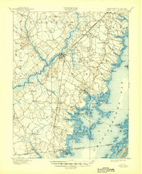
1901 Map of Snow Hill
USGS Topo · Published 1944About this map
Snow Hill serves as the focal point of this coastal survey, situated where the Pocomoke River transitions into a complex of wetlands and tributaries. The landscape is defined by the transition from riverine commerce to the sprawling waters of Chincoteague Bay, featuring numerous historical landings such as Mattaponi Landing and Milburn Landing. These sites, along with the Steamboat Route, underscore the heavy reliance on waterborne transport at the dawn of the twentieth century.
Find a feature on this map
83 named features on this map. Tap any name to fly to it.
Don’t see what you’re looking for? This feature index may not catch every label — zoom into the map to look around manually.
Map Details
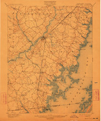
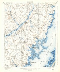
Editions of this 1901 Snow Hill Map
4 editions found
Other maps of this area

1901 · Snow Hill
USGS Topo · 1:62,500

1901 · Salisbury
USGS Topo · 1:62,500

1901 · Green Run
USGS Topo · 1:62,500

1901 · Ocean City
USGS Topo · 1:62,500

1902 · Pittsville
USGS Topo · 1:62,500

1938 · Green Run
USGS Topo · 1:62,500

1942 · Ocean City
USGS Topo · 1:62,500

1942 · Chincoteague East
USGS Topo · 1:24,000

1942 · Ninepin
USGS Topo · 1:24,000

1942 · Snow Hill
USGS Topo · 1:24,000