
1901 Map of Ocean City
USGS Topo · Published 1901About this map
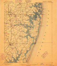
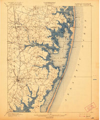
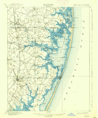
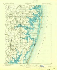
The coastal barrier islands and inland estuaries of the Maryland-Delaware border appear here just as the regional rail network and maritime safety infrastructure reached their peak. Life on the shore centered around Isle of Wight Bay and Little Assawoman Bay, where a complex system of hammocks, guts, and points like Johns Hammock and Jenkins Pt. defined the landscape. On the mainland, the Baltimore Chesapeake and Atlantic R. R. connected the growing resort at Ocean City to agricultural hubs like Berlin.
Find a feature on this map
120 named features on this map. Tap any name to fly to it.
Don’t see what you’re looking for? This feature index may not catch every label — zoom into the map to look around manually.
Map Details
Editions of this 1901 Ocean City Map
5 editions found
Other maps of this area

1901 · Snow Hill
USGS Topo · 1:62,500

1901 · Green Run
USGS Topo · 1:62,500

1902 · Pittsville
USGS Topo · 1:62,500

1917 · Millsboro
USGS Topo · 1:62,500

1918 · Rehoboth
USGS Topo · 1:62,500

1938 · Millsboro
USGS Topo · 1:62,500

1938 · Rehoboth
USGS Topo · 1:62,500

1938 · Green Run
USGS Topo · 1:62,500

1942 · Ocean City
USGS Topo · 1:62,500

1942 · Ninepin
USGS Topo · 1:24,000