
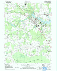
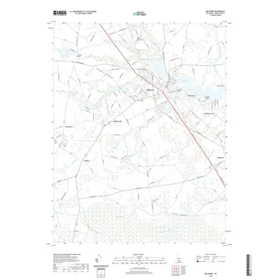
1938 Map of Millsboro
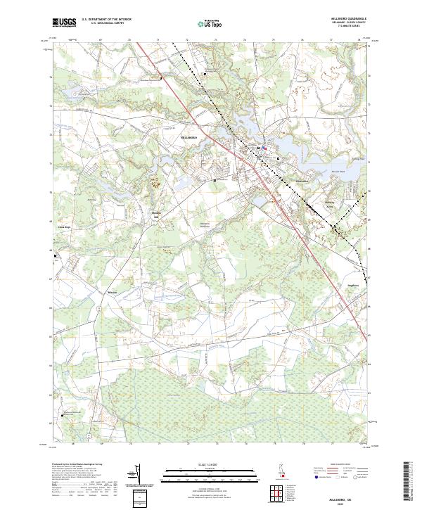
USGS Topo · Published 1945About this map
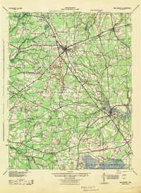
Georgetown serves as the central hub of this survey, where the Pennsylvania railroad lines intersect at the heart of Sussex County. The landscape is defined by an intricate network of drainage ditches and branches, including Mifflin Ditch and Gravelly Ditch, which supported the region's agricultural transition. To the south, the headwaters of the Indian River emerge near Millsboro, while the southern border is dominated by the dense expanse of the Cypress Swamp.
Find a feature on this map
99 named features on this map. Tap any name to fly to it.
Don’t see what you’re looking for? This feature index may not catch every label — zoom into the map to look around manually.
Map Details
Editions of this 1938 Millsboro Map
This is the sole edition of this map. No revisions or reprints were ever made.
Historical Maps of Georgetown Through Time
11 maps found
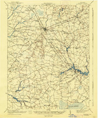
1917 Millsboro
Sussex County, DE
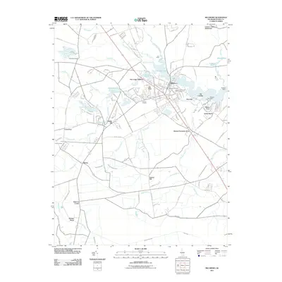
1938 Millsboro
Sussex County, DE
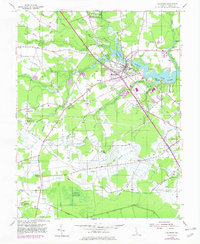
1944 Millsboro
Sussex County, DE
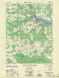
1954 Millsboro
Sussex County, DE
1955 Millsboro
Sussex County, DE
1992 Millsboro
Sussex County, DE
2011 Millsboro
Sussex County, DE
2014 Millsboro
Sussex County, DE
2016 Millsboro
Sussex County, DE
2019 Millsboro
Sussex County, DE
2023 Millsboro
Sussex County, DE