
1901 Map of Salisbury
USGS Topo · Published 1901About this map
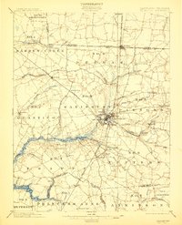
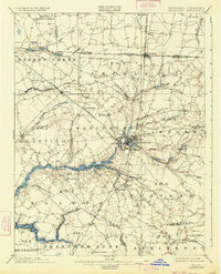
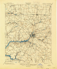
The Wicomico River serves as the central artery for this Eastern Shore landscape, facilitating a steamboat route that connects Sharps Pt and Shad Pt to the regional hub of Salisbury. This 1900 survey captures the convergence of several major transport lines, including the Pennsylvania R.R. (Delaware Division) and the Baltimore Chesapeake and Atlantic R.R., which turned Delmar and Salisbury into critical junctions for timber and agricultural shipping.
Find a feature on this map
79 named features on this map. Tap any name to fly to it.
Don’t see what you’re looking for? This feature index may not catch every label — zoom into the map to look around manually.
Map Details
Editions of this 1901 Salisbury Map
4 editions found
Other maps of this area

1901 · Snow Hill
USGS Topo · 1:62,500

1902 · Pittsville
USGS Topo · 1:62,500

1903 · Nanticoke
USGS Topo · 1:62,500

1903 · Deal Island
USGS Topo · 1:62,500

1905 · Hurlock
USGS Topo · 1:62,500

1915 · Seaford
USGS Topo · 1:62,500

1917 · Millsboro
USGS Topo · 1:62,500

1938 · Millsboro
USGS Topo · 1:62,500

1942 · Monie
USGS Topo · 1:24,000

1942 · Wetipquin
USGS Topo · 1:24,000