
1903 Map of Nanticoke
USGS Topo · Published 1903About this map
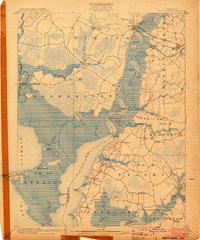
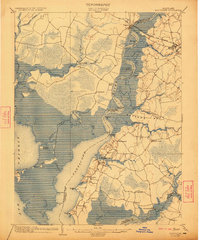
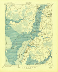
The Nanticoke River defines the landscape of this 1902 survey, serving as a vital artery for the Steamboat Route that connected Eastern Shore river landings. Small waterfront settlements like Whitehaven, Tyaskin, and Jesterville cluster along the eastern banks, while the Baltimore Chesapeake and Atlantic R. R. crosses the upper reaches at Vienna. This era of transport is further illustrated by the presence of Sandy Hill Landing and Lewis Ldg., which served as critical points for local trade and movement before modern road networks dominated.
Find a feature on this map
72 named features on this map. Tap any name to fly to it.
Don’t see what you’re looking for? This feature index may not catch every label — zoom into the map to look around manually.
Map Details
Editions of this 1903 Nanticoke Map
4 editions found
Other maps of this area

1898 · Choptank
USGS Topo · 1:125,000

1898 · St. Marys
USGS Topo · 1:125,000

1901 · Salisbury
USGS Topo · 1:62,500

1903 · Bloodsworth Island
USGS Topo · 1:62,500

1903 · Deal Island
USGS Topo · 1:62,500

1904 · Oxford
USGS Topo · 1:62,500

1905 · Crapo
USGS Topo · 1:62,500

1905 · Hurlock
USGS Topo · 1:62,500

1906 · St. Marys
USGS Topo · 1:125,000

1908 · Choptank
USGS Topo · 1:125,000