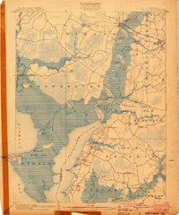
1903 Map of Nanticoke
USGS Topo · Published 1903About this map
The Nanticoke River and its labyrinthine marshlands dominate this 1902 survey of the Eastern Shore, illustrating a landscape where water was the primary highway. At the turn of the century, the Baltimore Chesapeake and Atlantic R. R. connected the interior to the coast, crossing near Vienna and Mardela Springs. A defined Steamboat Route tracks south through the river channel toward Whitehaven, serving as a vital link for the scattered waterfront settlements.
Find a feature on this map
72 named features on this map. Tap any name to fly to it.
Don’t see what you’re looking for? This feature index may not catch every label — zoom into the map to look around manually.
Map Details
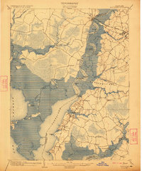
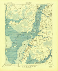
Editions of this 1903 Nanticoke Map
4 editions found
Other maps of this area

1898 · Choptank
USGS Topo · 1:125,000

1898 · St. Marys
USGS Topo · 1:125,000

1901 · Salisbury
USGS Topo · 1:62,500

1903 · Nanticoke
USGS Topo · 1:62,500

1903 · Bloodsworth Island
USGS Topo · 1:62,500

1903 · Deal Island
USGS Topo · 1:62,500

1904 · Oxford
USGS Topo · 1:62,500

1905 · Crapo
USGS Topo · 1:62,500

1905 · Hurlock
USGS Topo · 1:62,500

1906 · St. Marys
USGS Topo · 1:125,000