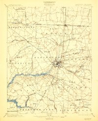
1901 Map of Salisbury
USGS Topo · Published 1912About this map
Salisbury serves as the central hub of this turn-of-the-century landscape, positioned where the New York Philadelphia and Norfolk R. R. and the Baltimore Chesapeake and Atlantic R. R. converge. The city is surrounded by a network of smaller named neighborhoods and districts, including Jersey, Canton, Camden, and Frankford. A designated Steamboat Route navigates the Wicomico River, highlighting the era's reliance on both rail and water for commerce and travel.
Find a feature on this map
84 named features on this map. Tap any name to fly to it.
Don’t see what you’re looking for? This feature index may not catch every label — zoom into the map to look around manually.
Map Details
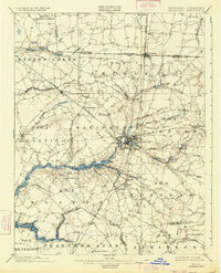
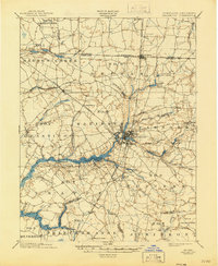
Editions of this 1901 Salisbury Map
4 editions found
Other maps of this area

1901 · Snow Hill
USGS Topo · 1:62,500

1901 · Salisbury
USGS Topo · 1:62,500

1902 · Pittsville
USGS Topo · 1:62,500

1903 · Nanticoke
USGS Topo · 1:62,500

1903 · Deal Island
USGS Topo · 1:62,500

1905 · Hurlock
USGS Topo · 1:62,500

1915 · Seaford
USGS Topo · 1:62,500

1917 · Millsboro
USGS Topo · 1:62,500

1938 · Millsboro
USGS Topo · 1:62,500

1942 · Monie
USGS Topo · 1:24,000