
1918 Map of Harrington
USGS Topo · Published 1918About this map
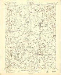
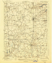
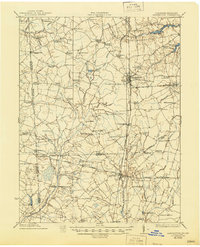
Harrington serves as a central hub on this Delmarva landscape, where the Philadelphia Baltimore and Washington railroad defines the north-south transport corridor through Kent and Sussex counties. The era's educational infrastructure is exceptionally dense here, featuring unique local landmarks like the Coon Den School, Potash School, and Hardscrabble School. The transition from Delaware into Maryland is marked by a complex network of man-made drainage, including White Marsh Ditch and Greenlees Ditch, supporting an agricultural economy that surrounds numerous crossroads hamlets. To the south, the Nanticoke River winds near Greenwood, while older routes like the Kings Highway suggest the deep historical roots of these farming communities. This survey, conducted just before the close of the Great War, preserves the exact locations of many family-named corners and small-town landmarks that have since evolved.
Find a feature on this map
97 named features on this map. Tap any name to fly to it.
Don’t see what you’re looking for? This feature index may not catch every label — zoom into the map to look around manually.
Map Details
Editions of this 1918 Harrington Map
4 editions found
Other maps of this area

1899 · Vineland
USGS Topo · 1:125,000

1899 · Dover
USGS Topo · 1:125,000

1905 · Denton
USGS Topo · 1:62,500

1905 · Barclay
USGS Topo · 1:62,500

1905 · Hurlock
USGS Topo · 1:62,500

1906 · Dover
USGS Topo · 1:125,000

1915 · Seaford
USGS Topo · 1:62,500

1917 · Millsboro
USGS Topo · 1:62,500

1918 · Cedar Creek
USGS Topo · 1:62,500

1919 · Cedar Creek
USGS Topo · 1:62,500