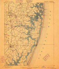
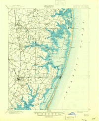
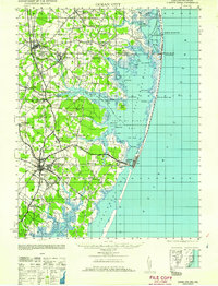
1901 Map of Ocean City
USGS Topo · Published 1910About this map
Ocean City occupies a narrow strip of the barrier island, flanked by the Atlantic Ocean and the sprawling waters of Sinepuxent Bay. At this turn-of-the-century date, the landscape is defined by its intricate coastal geography, where maritime life and rail transportation meet. The Philadelphia Wilmington and Baltimore R. R. and the Chesapeake and Atlantic R. R. intersect near Berlin, providing vital inland connections for coastal settlements like Bishopville and Showell.
Find a feature on this map
118 named features on this map. Tap any name to fly to it.
Don’t see what you’re looking for? This feature index may not catch every label — zoom into the map to look around manually.
Map Details
Editions of this 1901 Ocean City Map
5 editions found
Historical Maps of Ocean Pines Through Time
12 maps found
1901 Ocean City
Worcester County, MD
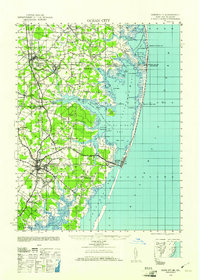
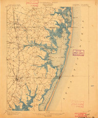
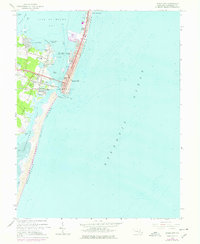
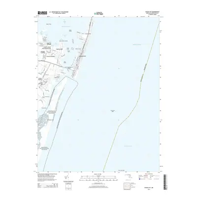
1942 Ocean City
Worcester County, MD
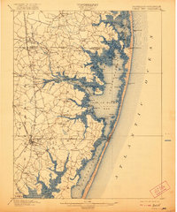
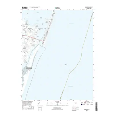
1942 Ocean City
Worcester County, MD
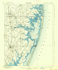
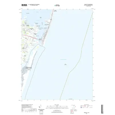
1943 Ocean City
Worcester County, MD
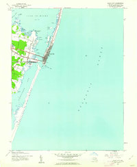
1961 Ocean City
Worcester County, MD
1964 Ocean City
Worcester County, MD
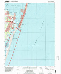
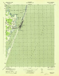
1998 Ocean City
Worcester County, MD
2011 Ocean City
Worcester County, MD
2014 Ocean City
Worcester County, MD
2016 Ocean City
Worcester County, MD
2019 Ocean City
Worcester County, MD
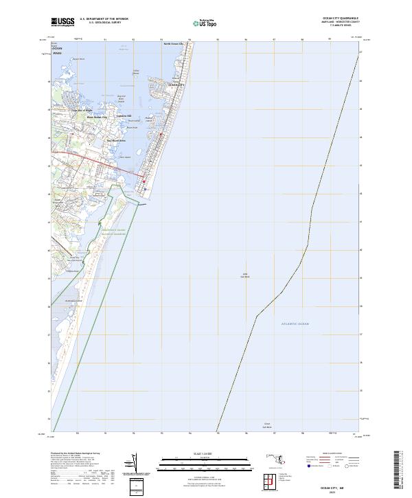
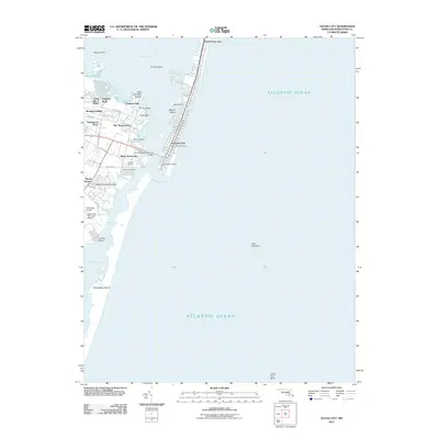
2023 Ocean City
Worcester County, MD