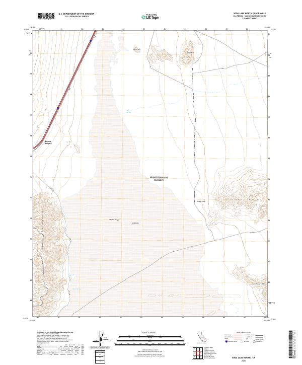
2021 Map of Soda Lake North
USGS Topo · Published 2021About this map
The arid landscape of the Mojave Desert unfolds across this quadrangle, dominated by the northern reaches of the vast Soda Lake basin. This 2021 study documents the intersection of modern infrastructure and protected wilderness within the Mojave National Preserve. Near the edge of the Soda Mountains, the settlement of Desert Heights sits just west of the prominent Interstate 15 corridor, while the distinctive Zzyzx RD leads southward toward the historic oasis at Zzyzx Spring. The terrain is defined by dramatic elevation shifts, from the salt flats of the playa to the rising slopes of Little Cowhole Mtn and Hanks Mtn. Water remains the most critical feature in this environment, represented by isolated points like Mesquite Spring and the ephemeral Shortz Lake, highlighting the survival of spring-fed sites in an otherwise parched terrain.
Find a feature on this map
18 named features on this map. Tap any name to fly to it.
Don’t see what you’re looking for? This feature index may not catch every label — zoom into the map to look around manually.
Map Details
Editions of this 2021 Soda Lake North Map
This is the sole edition of this map. No revisions or reprints were ever made.
Other maps of this area

1910 · Ivanpah
USGS Topo · 1:250,000

1912 · Ivanpah
USGS Topo · 1:250,000

1933 · Avawatz Mountains
USGS Topo · 1:250,000

1942 · Ivanpah
USGS Topo · 1:250,000

1947 · Trona
USGS Topo · 1:250,000

1947 · Kingman
USGS Topo · 1:250,000

1948 · Kingman
USGS Topo · 1:250,000

1948 · Trona
USGS Topo · 1:250,000

1953 · Trona
USGS Topo · 1:250,000

1954 · Kingman
USGS Topo · 1:250,000