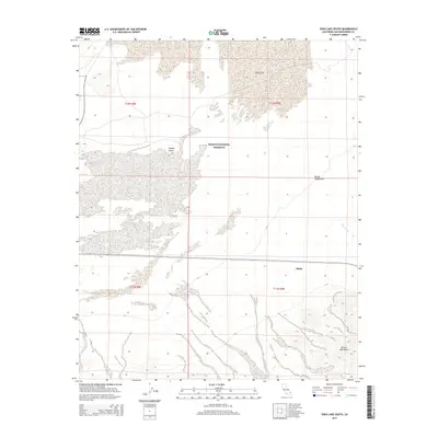
2015 Map of Soda Lake South
USGS Topo · Published 2015About this map
Mojave National Preserve encompasses most of this arid landscape, where the shifting sands of the Devils Playground meet the southern reaches of Soda Lake. The map illustrates a dramatic topographic shift from the flat, dry lakebed and alluvial fans to the high ridges of the Bristol Mountains in the southeast. In this corner of the Mojave Desert, the small settlement of Balch sits along a transport corridor south of the sands, providing a rare point of human habitation in a region defined by hydrological drainage toward the ephemeral Kelso Wash. The survey detail captures the complex interplay between the vast sand dunes and the rocky mountain spurs that hem in the ancient lake basin.
Find a feature on this map
11 named features on this map. Tap any name to fly to it.
Don’t see what you’re looking for? This feature index may not catch every label — zoom into the map to look around manually.
Map Details
Editions of this 2015 Soda Lake South Map
This is the sole edition of this map. No revisions or reprints were ever made.
Other maps of this area

1910 · Ivanpah
USGS Topo · 1:250,000

1912 · Ivanpah
USGS Topo · 1:250,000

1933 · Avawatz Mountains
USGS Topo · 1:250,000

1942 · Ivanpah
USGS Topo · 1:250,000

1942 · Amboy
USGS Topo · 1:250,000

1943 · Amboy
USGS Topo · 1:250,000

1947 · Trona
USGS Topo · 1:250,000

1947 · Kingman
USGS Topo · 1:250,000

1948 · Kingman
USGS Topo · 1:250,000

1948 · Trona
USGS Topo · 1:250,000