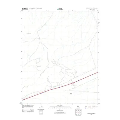
2012 Map of Solomons Knob
USGS Topo · Published 2012About this map
Yucca Grove serves as a modern focal point in this high desert landscape, situated where the primary travel corridor intersects the arid drainage systems of the eastern Mojave. The terrain is defined by prominent elevations such as Squaw Mountain and Solomons Knob, which overlook a network of seasonal watercourses including Bull Spring Wash and Halloran Wash. These washes dictate the local topography and the placement of early infrastructure, such as Francis Springs Rd.
Find a feature on this map
12 named features on this map. Tap any name to fly to it.
Don’t see what you’re looking for? This feature index may not catch every label — zoom into the map to look around manually.
Map Details
Editions of this 2012 Solomons Knob Map
This is the sole edition of this map. No revisions or reprints were ever made.
Other maps of this area

1910 · Ivanpah
USGS Topo · 1:250,000

1912 · Ivanpah
USGS Topo · 1:250,000

1942 · Ivanpah
USGS Topo · 1:250,000

1947 · Kingman
USGS Topo · 1:250,000

1948 · Kingman
USGS Topo · 1:250,000

1954 · Kingman
USGS Topo · 1:250,000

1955 · Kingman
USGS Topo · 1:250,000

1955 · Kingston Peak
USGS Topo · 1:62,500

1955 · Mescal Range
USGS Topo · 1:62,500

1956 · Halloran Spring
USGS Topo · 1:62,500