1944 Map of Somerville
USGS Topo · Published 1944About this map
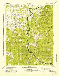
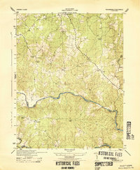
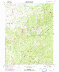
Somerville PO and the rural crossroads of Bristerburg anchor this 1944 survey of the rolling borderlands between Fauquier, Prince William, and Stafford Counties. The landscape is defined by its social infrastructure, from the Good Hope Sch to several country congregations including Mt Horeb Ch and Hearts Delight Ch Delight. A significant portion of the eastern terrain is occupied by the Marine Corps Reservation, while the Pauquier Stafford Fire Tower stands as a sentinel over the timbered ridges. Early commercial hubs like Tacketts Mill and Bridwells Corner suggest a traditional economy centered on local milling and road junctions. The drainage network, featuring Cedar Run and Aquia Creek, dictates the placement of early settlements and family homesteads such as the Smith House.
Find a feature on this map
31 named features on this map. Tap any name to fly to it.
Don’t see what you’re looking for? This feature index may not catch every label — zoom into the map to look around manually.
Map Details
Editions of this 1944 Somerville Map
This is the sole edition of this map. No revisions or reprints were ever made.
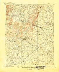
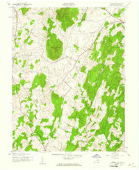
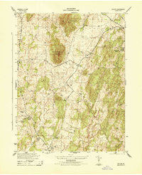
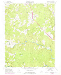
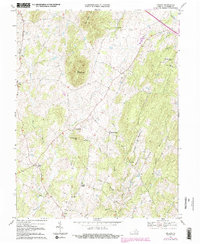
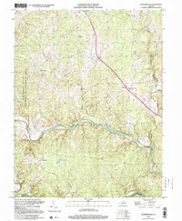
Historical Maps of Sowego Through Time
16 maps found
1894 Thorofare Gap
Fauquier County, VA
1943 Orlean
Fauquier County, VA
1944 Orlean
Fauquier County, VA
1944 Richardsville
Fauquier County, VA
1944 Somerville
Fauquier County, VA
1953 Richardsville
Fauquier County, VA
1953 Somerville
Fauquier County, VA
1966 Jeffersonton
Fauquier County, VA
1966 Somerville
Fauquier County, VA
1968 Richardsville
Fauquier County, VA
1970 Orlean
Fauquier County, VA
1998 Richardsville
Fauquier County, VA
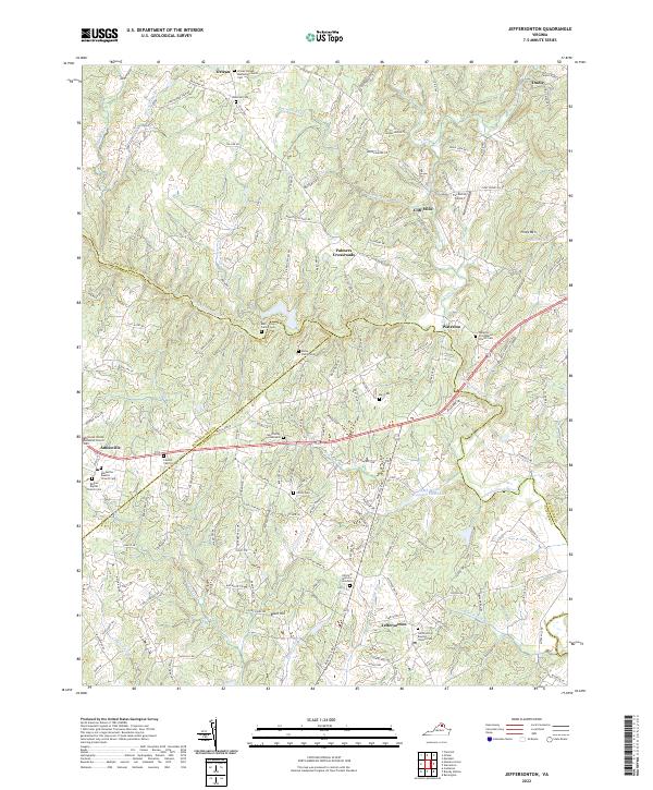
2022 Jeffersonton
Fauquier County, VA
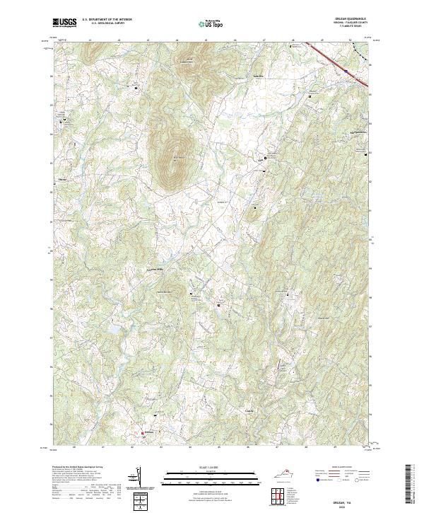
2022 Orlean
Fauquier County, VA
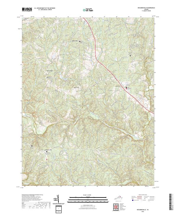
2022 Richardsville
Fauquier County, VA
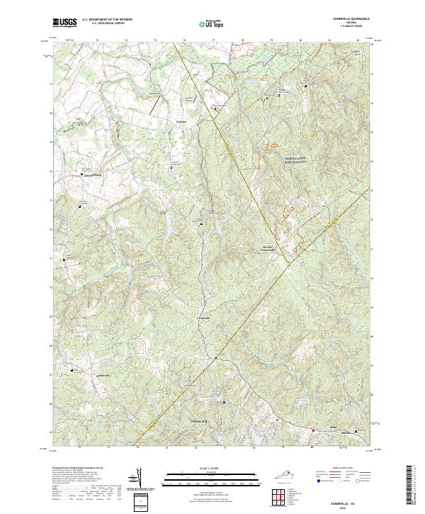
2022 Somerville
Fauquier County, VA