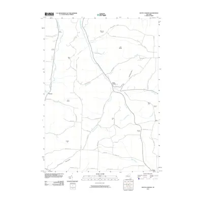
2010 Map of South Canisteo
USGS Topo · Published 2010About this map
Colonel Bills Creek and Bennetts Creek carve through the high terrain of Steuben County in this 2010 survey, illustrating a landscape defined by its deeply etched hollows and ridges. The settlement of South Canisteo serves as a central junction where these narrow valley roads meet, while Bennetts and Jasper anchor the western and southeastern corners of the quadrangle. For genealogists, the map identifies several rural burial grounds, including Carter Cemetery, Thomas Cemetery, and the Hampshire Cemetery.
Find a feature on this map
61 named features on this map. Tap any name to fly to it.
Don’t see what you’re looking for? This feature index may not catch every label — zoom into the map to look around manually.
Map Details
Editions of this 2010 South Canisteo Map
This is the sole edition of this map. No revisions or reprints were ever made.
Other maps of this area

1910 · Bath
USGS Topo · 1:62,500

1915 · Hornell
USGS Topo · 1:62,500

1918 · Hornell
USGS Topo · 1:62,500

1924 · Woodhull
USGS Topo · 1:48,000

1926 · Woodhull
USGS Topo · 1:62,500

1926 · Greenwood
USGS Topo · 1:62,500

1944 · Woodhull
USGS Topo · 1:62,500

1950 · Elmira
USGS Topo · 1:250,000

1953 · Cameron
USGS Topo · 1:24,000

1953 · Woodhull
USGS Topo · 1:24,000