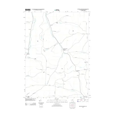
2013 Map of South Canisteo
USGS Topo · Published 2013About this map
Bennetts Cr and Colonel Bills Cr carve through the southern New York landscape in this modern study of Steuben County. The settlement pattern here is distinctly rural, defined by crossroads like South Canisteo, Hampshire, and Bennetts, connected by a winding network of local routes such as Doe Run and Rock Run Rd. For those researching local lineages, the map identifies numerous family-named burial grounds including Carter Cem, Thomas Cem, and the Marsh Hill Cem. The terrain is characterized by named elevations and depressions such as Bush Hill, Jackson Hill, and Leahy Hollow, reflecting the region's complex topography. This survey provides a clear view of land use just after the turn of the 21st century, showing how modern infrastructure follows the natural paths carved by waterways like Tuscarora Cr and Rock Run.
Find a feature on this map
74 named features on this map. Tap any name to fly to it.
Don’t see what you’re looking for? This feature index may not catch every label — zoom into the map to look around manually.
Map Details
Editions of this 2013 South Canisteo Map
This is the sole edition of this map. No revisions or reprints were ever made.
Other maps of this area

1910 · Bath
USGS Topo · 1:62,500

1915 · Hornell
USGS Topo · 1:62,500

1918 · Hornell
USGS Topo · 1:62,500

1924 · Woodhull
USGS Topo · 1:48,000

1926 · Woodhull
USGS Topo · 1:62,500

1926 · Greenwood
USGS Topo · 1:62,500

1944 · Woodhull
USGS Topo · 1:62,500

1950 · Elmira
USGS Topo · 1:250,000

1953 · Cameron
USGS Topo · 1:24,000

1953 · Woodhull
USGS Topo · 1:24,000