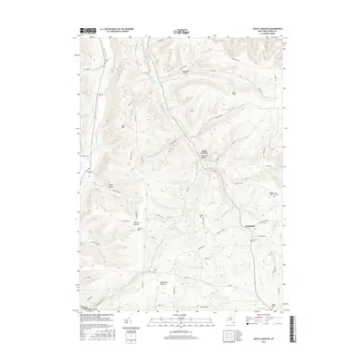
2016 Map of South Canisteo
USGS Topo · Published 2016About this map
South Canisteo serves as a central hub for this rural stretch of Steuben County, where the landscape is defined by deep hollows and prominent rises. The terrain is dominated by the winding path of Colonel Bills Creek and its various tributaries, which have carved out the local topography over centuries. This 2016 survey shows how modern infrastructure follows the natural contours of the land, with routes like State Route 248 tracing the valley floors. Smaller settlements like Hampshire are found in the eastern portion of the quadrangle, connected by a network of rural roads that navigate the ridges and stream beds of the Finger Lakes region.
Find a feature on this map
2 named features on this map. Tap any name to fly to it.
Don’t see what you’re looking for? This feature index may not catch every label — zoom into the map to look around manually.
Map Details
Editions of this 2016 South Canisteo Map
This is the sole edition of this map. No revisions or reprints were ever made.
Other maps of this area

1910 · Bath
USGS Topo · 1:62,500

1915 · Hornell
USGS Topo · 1:62,500

1918 · Hornell
USGS Topo · 1:62,500

1924 · Woodhull
USGS Topo · 1:48,000

1926 · Woodhull
USGS Topo · 1:62,500

1926 · Greenwood
USGS Topo · 1:62,500

1944 · Woodhull
USGS Topo · 1:62,500

1950 · Elmira
USGS Topo · 1:250,000

1953 · Cameron
USGS Topo · 1:24,000

1953 · Woodhull
USGS Topo · 1:24,000