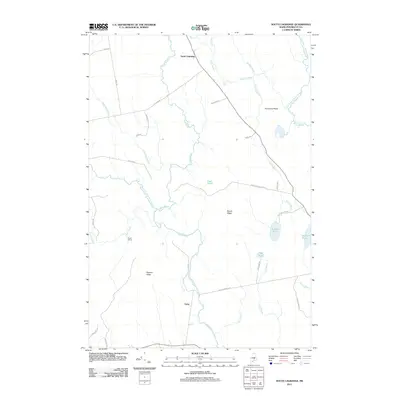
2011 Map of South Lagrange
USGS Topo · Published 2011About this map
South Lagrange serves as a primary hub in this Penobscot County landscape, where the terrain is defined by low-lying wetlands and North Woods ridges. The hydrologic network is intricate, dominated by the winding path of Dead Stream and its tributaries, including the West Branch Dead Stream. These waters, along with isolated basins like Lost Pond and Pickerel Pond, illustrate the glacial drainage patterns typical of central Maine.
Find a feature on this map
40 named features on this map. Tap any name to fly to it.
Don’t see what you’re looking for? This feature index may not catch every label — zoom into the map to look around manually.
Map Details
Editions of this 2011 South Lagrange Map
This is the sole edition of this map. No revisions or reprints were ever made.
Other maps of this area

1902 · Orono
USGS Topo · 1:62,500

1902 · Bangor
USGS Topo · 1:62,500

1917 · Passadumkeag
USGS Topo · 1:62,500

1933 · Boyd Lake
USGS Topo · 1:62,500

1942 · Bangor
USGS Topo · 1:62,500

1944 · Orono
USGS Topo · 1:62,500

1946 · Bangor
USGS Topo · 1:62,500

1946 · Orono
USGS Topo · 1:62,500

1948 · Bangor
USGS Topo · 1:250,000

1951 · Boyd Lake
USGS Topo · 1:50,000