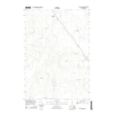
2014 Map of South Lagrange
USGS Topo · Published 2014About this map
South Lagrange and the settlement of Gerry anchor this 2014 survey of Penobscot County, where the landscape is defined by a dense network of waterways and low-lying wetlands. The area is dominated by the north-south flow of Dead Stream and Birch Stream, which feed into numerous small bodies of water including Lost Pond, Pickerel Pond, and Pug Pond. Prominent topographical features such as Murch Ridge and Hudson Ridge rise above the drainage basins, providing local relief in an otherwise fluid terrain.
Find a feature on this map
37 named features on this map. Tap any name to fly to it.
Don’t see what you’re looking for? This feature index may not catch every label — zoom into the map to look around manually.
Map Details
Editions of this 2014 South Lagrange Map
This is the sole edition of this map. No revisions or reprints were ever made.
Other maps of this area

1902 · Orono
USGS Topo · 1:62,500

1902 · Bangor
USGS Topo · 1:62,500

1917 · Passadumkeag
USGS Topo · 1:62,500

1933 · Boyd Lake
USGS Topo · 1:62,500

1942 · Bangor
USGS Topo · 1:62,500

1944 · Orono
USGS Topo · 1:62,500

1946 · Bangor
USGS Topo · 1:62,500

1946 · Orono
USGS Topo · 1:62,500

1948 · Bangor
USGS Topo · 1:250,000

1951 · Boyd Lake
USGS Topo · 1:50,000